Toggle navigation
LMEC Home
Exhibitions
Georeferencing
Tools for Teachers
Collections
My Favorites
Sign Up / Log In
Search
Search the map portal
Map Collection
Map Collection
Map Sets
Search
Search
Search for
Search In
All Fields
Creator
Title
Subject
Place
Search All Digital Collections
Advanced Search
68 Results
My Search
Start Over
More Like
commonwealth:z603vh872
Remove constraint More Like: commonwealth:z603vh872
Filter your Search
Place
North and Central America
58
United States
51
South Carolina
32
North Carolina
22
Georgia
18
Charleston (county)
12
Charleston
10
Hudson River
4
more
Place
»
Topic
South Carolina--Maps--Early works to 1800
28
North Carolina--Maps--Early works to 1800
20
Georgia--Maps--Early works to 1800
16
Coasts--South Carolina--Maps--Early works to 1800
6
Charleston (S.C.)--Maps--Early works to 1800
5
Hudson River (N.Y. and N.J.)--Maps--Early works to 1800
4
Virginia--Maps--Early works to 1800
4
Yorktown (Va.)--History--Siege, 1781--Maps--Early works to 1800
4
more
Topic
»
Date
Date range begin
–
Date range end
Current results range from
1639
to
1816
View distribution
Creator
Faden, William, 1749-1836
9
Des Barres, Joseph F. W. (Joseph Frederick Wallet), 1722-1824
7
Aitken, Robert, 1735-1802
6
Dunbibin, Daniel
4
Norman, John, 1748?-1817
4
Norman, William, -1807
4
Bull, William, 1710-1791
3
Conder, Thomas, 1746 or 1747-1831
3
more
Creator
»
Format
Maps/Atlases
60
Books
7
Manuscripts
1
Prints
1
Georeferenced
Yes
1
No
67
Collection
American Revolutionary War-Era Maps
54
Harvard Map Collection
31
Norman B. Leventhal Map & Education Center Collection
22
Maritime Charts and Atlases
12
MacLean Collection Map Library
8
Richard H. Brown Revolutionary War Map Collection at Mount Vernon
6
New York Public Library Collection
1
Available to use
Creative Commons license
38
No known restrictions
22
Search Constraints
Sort by relevance
relevance
title
date (asc)
date (desc)
Number of results to display per page
20 per page
10
per page
20
per page
50
per page
100
per page
View results as:
grid view
map view
Search Results
1.
A map of South Carolina and a part of Georgia : Containing the whole sea-coast; all the islands, inlets, rivers, creeks,...
2.
A map of South Carolina and a part of Georgia : containing the whole sea-coast; all the islands, inlets, rivers, creeks,...
3.
An accurate map of North and South Carolina with their Indian frontiers, shewing in a distinct manner all the mountains,...
4.
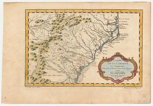
Carte de la Caroline et Georgie : pour servir à l'histoire générale des voyages
5.
Carte de la Caroline et Georgie : pour servir à l'histoire générale des voyages
6.
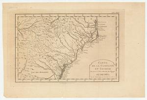
Carte des deux Carolines et de la Géorgie
7.
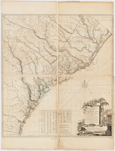
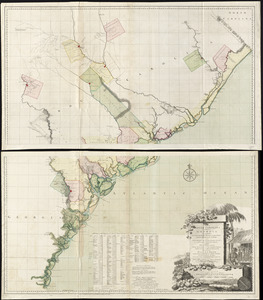
A chart of South Carolina and Georgia
8.
A chart of South Carolina and Georgia
9.
A chart of South Carolina and Georgia
10.
A chart of South Carolina and Georgia
11.
A map of South Carolina and a part of Georgia : containing the whole sea-coast; all the islands, inlets, rivers, creeks,...
12.
Virginiae partis australis, et Floridae partis orientalis, interjacentiumq[ue] regionum nova descriptio
13.
Virginiae partis australis et Floridae partis orientalis, interjacentium[que] regionum nova descriptio
14.
Chart of the entrance of Hudson's River, from Sandy Hook to New York, with the banks, depths of water, sailing-marks, & ca
15.
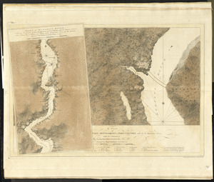
A plan of Fort Montgomery & Fort Clinton, taken by His Majesty's forces, under the command of Maj. Genl. Sir Henry Clinton, K:B
16.
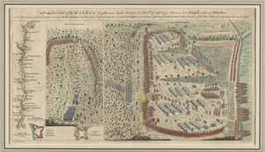
A prospective view of the battle fought near Lake George, on the 8th of Sepr. 1755, between 2000 English, with 250 Mohawks,...
17.
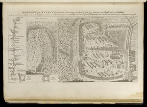
A prospective view of the battle fought near Lake George, on the 8th of Sepr. 1755, between 2000 English, with 250 Mohawks,...
18.
[Chart of the coast of Georgia]
19.
[Chart of the coast of Georgia]
20.
Georgia, from the latest authorities
‹ Prev
Next ›
1
2
3
4


![Virginiae partis australis, et Floridae partis orientalis, interjacentiumq[ue] regionum nova descriptio](https://bpldcassets.blob.core.windows.net/derivatives/images/commonwealth:st74cw930/image_thumbnail_300.jpg)
![Virginiae partis australis et Floridae partis orientalis, interjacentium[que] regionum nova descriptio](https://bpldcassets.blob.core.windows.net/derivatives/images/commonwealth:6t053p120/image_thumbnail_300.jpg)

![[Chart of the coast of Georgia]](https://bpldcassets.blob.core.windows.net/derivatives/images/commonwealth:z603vv33t/image_thumbnail_300.jpg)
![[Chart of the coast of Georgia]](https://bpldcassets.blob.core.windows.net/derivatives/images/commonwealth:z603vv35c/image_thumbnail_300.jpg)
