Search Constraints
Search Results


3283. Kriegs-karte 1870
3288. Lacrosse County, Wis.
3289. Lafayette County, Wis.

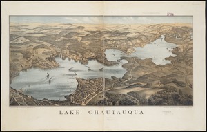
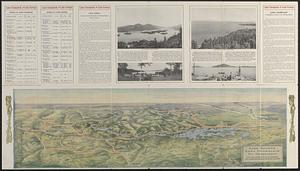
3291. Lake Chautauqua
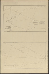
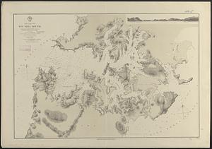
3292. Lake Erie
3293. Lake Erie
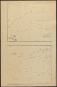
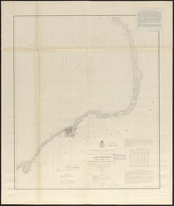
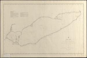
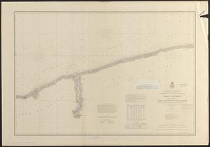
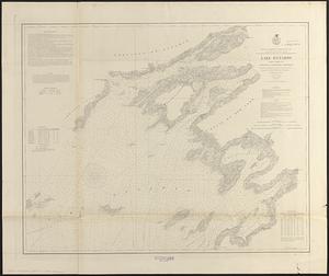
3295. Lake Ontario
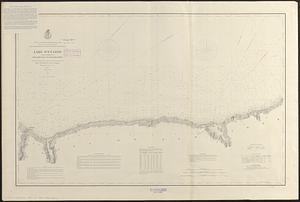
3296. Lake Ontario
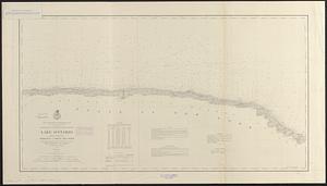
3297. Lake Ontario
3298. Lake Ontario
3299. Lake Ontario