Search Constraints
Search Results
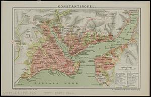
3361. Konstantinopel


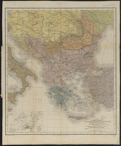
3364. Kriegs-karte 1870
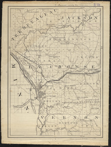
3369. Lacrosse County, Wis.
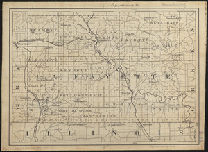
3370. Lafayette County, Wis.

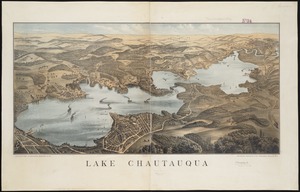
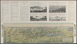
3372. Lake Chautauqua
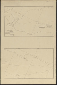
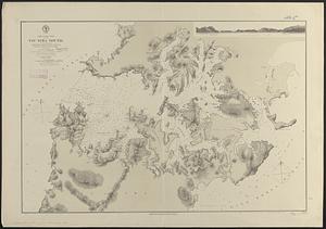
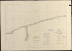
3373. Lake Erie
3374. Lake Erie
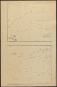
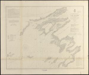
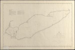
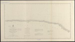
3376. Lake Ontario
3377. Lake Ontario
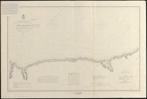
3378. Lake Ontario
3379. Lake Ontario