Toggle navigation
LMEC Home
Exhibitions
Georeferencing
Tools for Teachers
Collections
My Favorites
Sign Up / Log In
Search
Search the map portal
Map Collection
Map Collection
Map Sets
Search
Search
Search for
Search In
All Fields
Creator
Title
Subject
Place
Search All Digital Collections
Advanced Search
8694 Results
My Search
Start Over
More Like
commonwealth:st74cx14j
Remove constraint More Like: commonwealth:st74cx14j
Filter your Search
Place
North and Central America
5,925
United States
4,843
Massachusetts
2,078
Europe
1,396
Suffolk (county)
1,045
Boston
1,018
Canada
449
Asia
438
more
Place
»
Topic
Boston (Mass.)--Maps
586
United States--Maps
282
Real property--Massachusetts--Boston--Maps
175
Massachusetts--Maps
162
Landowners--Massachusetts--Boston--Maps
133
North America--Maps--Early works to 1800
103
New England--Maps
102
Europe--Maps
79
more
Topic
»
Date
Date range begin
–
Date range end
Current results range from
1482
to
2023
View distribution
Creator
United States. Hydrographic Office
595
O.H. Bailey & Co
148
Des Barres, Joseph F. W. (Joseph Frederick Wallet), 1722-1824
123
United States. Post Office Dept
120
Ptolemy, 2nd cent
100
Walling, Henry Francis, 1825-1888
94
Geological Survey (U.S.)
86
Jefferys, Thomas, -1771
85
more
Creator
»
Format
Maps/Atlases
8,634
Manuscripts
215
Prints
56
Books
36
Objects/Artifacts
10
Drawings/Illustrations
8
Posters
5
Georeferenced
Yes
869
No
7,825
Collection
Norman B. Leventhal Map & Education Center Collection
8,693
Boston and New England Maps
2,232
Urban Maps
2,023
Maritime Charts and Atlases
1,083
American Revolutionary War-Era Maps
615
Boston Redevelopment Authority Collection
87
Richard H. Brown Revolutionary War Map Collection at Mount Vernon
1
Available to use
No known restrictions
8,551
Creative Commons license
48
Search Constraints
Sort by relevance
relevance
title
date (asc)
date (desc)
Number of results to display per page
20 per page
10
per page
20
per page
50
per page
100
per page
View results as:
grid view
map view
Search Results
1.
Barbaria
2.
In notitiam ecclesiasticam Africæ tabula geographica
3.
Prima Africae tabula
4.
Secunda Africae tabula
5.
Tertia Africae tabula
6.
The west part of Barbary containing Fez, Marocco, Algiers and Tunis / : The east part of Barbary containing Tripoli, Barca and...
7.
A correct map of Europe divided into its empire, kingdoms &c.
8.
Europ, and the cheife cities contayned therin, described; with the habits of most kingdoms now in use
9.
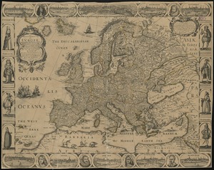
Europa exactissime descripta
10.
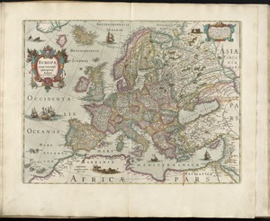
Europae
11.
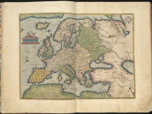
Europae
12.
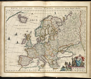
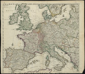
Europe
13.
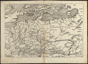
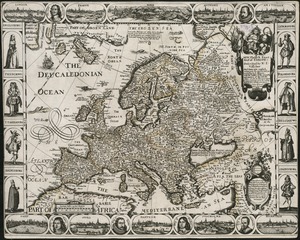
A map of the principall part of Europe
14.
A new and most exact map of Europe described by N.I. Visscher and don into English and corrected according to I Bleau and...
15.
A new, plaine & exact map of Europe : described by N.I. Visscher and done into English, enlarged & corrected according to I....
16.
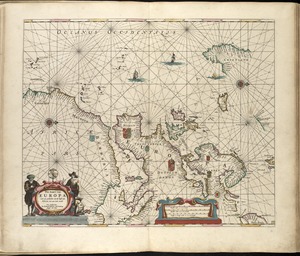
Pas-kaart van Europa met een gedeelte van de kust van Africa tot aen Cabo Verde
17.
To Her most Sacred Majesty Carolina Queen of Great Britain, France & Ireland, this map of Europe, according to the newest and...
18.
Bowles's new and accurate map of Europe, divided into it's [sic] empires, kingdoms, states, republicks and principalities :...
19.
The 100th anniversary map of Abraham Lincoln's visit to Massachusetts, September 11-23, 1848
20.
1630 shoreline
‹ Prev
Next ›
1
2
3
4
5
…
434
435


![Bowles's new and accurate map of Europe, divided into it's [sic] empires, kingdoms, states, republicks and principalities](https://bpldcassets.blob.core.windows.net/derivatives/images/commonwealth:q524mt678/image_thumbnail_300.jpg)

