Toggle navigation
LMEC Home
Exhibitions
Georeferencing
Tools for Teachers
Collections
My Favorites
Sign Up / Log In
Search
Search the map portal
Map Collection
Map Collection
Map Sets
Search
Search
Search for
Search In
All Fields
Creator
Title
Subject
Place
Search All Digital Collections
Advanced Search
480 Results
My Search
Start Over
More Like
commonwealth:q524n7600
Remove constraint More Like: commonwealth:q524n7600
Filter your Search
Place
North and Central America
416
United States
292
New York
40
Florida
19
Canada
17
Alabama
15
Chatham (county)
15
Savannah
13
more
Place
»
Topic
Manuscript maps--Early works to 1800
92
Manuscript maps
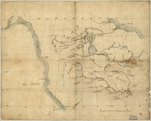
21
Gulf Coast (U.S.)--Maps, Manuscript--Early works to 1800
12
Fortification--New York (State)--New York--Maps--Early works to 1800
11
New York (N.Y.)--Buildings, structures, etc--Maps, Manuscript--Early works to 1800
9
New York (N.Y.)--Maps, Manuscript--Early works to 1800
8
Saratoga Campaign, N.Y., 1777--Maps, Manuscript--Early works to 1800
8
Coasts--Florida--Maps--Early works to 1800
7
more
Topic
»
Date
Date range begin
–
Date range end
Current results range from
1700
to
1899
View distribution
Creator
Hills, John, (Surveyor)
18
Montrésor, John, 1736-1799
16
Bingham, William, 1752-1804
12
Adlum, John, 1759-1836
10
Washington, George, 1732-1799
9
Faden, William, 1749-1836
7
Morgan, Benjamin, (Draftsman)
7
Wangenheim, Friedrich Adam Julius von
7
more
Creator
»
Format
Maps/Atlases
478
Manuscripts
475
Objects/Artifacts
2
Georeferenced
Yes
5
No
475
Collection
American Revolutionary War-Era Maps
480
Library of Congress Collection
480
Maritime Charts and Atlases
31
Urban Maps
15
Available to use
Creative Commons license
480
Search Constraints
Sort by date (desc)
relevance
title
date (asc)
date (desc)
Number of results to display per page
20 per page
10
per page
20
per page
50
per page
100
per page
View results as:
grid view
map view
Search Results
41.
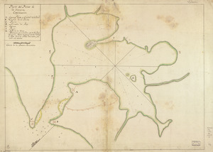
Plano geométrico de la boca de monos y puertos de Charguaramas y Carenero en la Ya. de Trinidad
42.
Dotted line map of Washington, D.C., 1791, before Aug. 19th
43.
Map of Alexandria, Virginia
44.
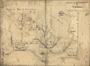
Part of the Province of Virginia
45.
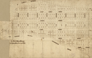
Plan of the city intended for the permanent seat of the government of t[he] United States : projected agreeable to the...
46.
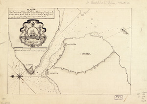
Plano del Puerto de la Havana
47.
Plano del Puerto de Sn. Christobal de la Habana situado en la costa del N. de la ysla de Cuba en la latd. de 23 gs. 10 ms. y en...
48.
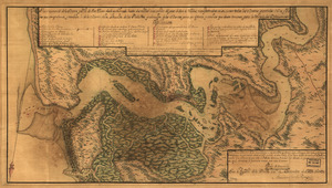
Plano numero 1. de la barra, y Rio de San Juan desde su entrada hasta dos millas mas arriba del paso de San Nicolas,...
49.
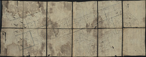
20 tracts, Charleston
50.
Armstrong County
51.
Cawanesque
52.
E. Sugar Creek, Bradford Co
53.
Jefferson, Venango & Armstrong
54.
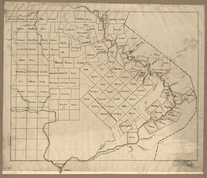
Land ownership map of the William Bingham estate in Potter County, Pennsylvania
55.
North America from the Mississippi River to the Pacific, between the 35th and 60th parallers of latitude
56.
The Part of Pennsylvania that lies between the forks of the Susquehannah, divided into townships
57.
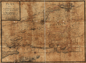
Plan du canton de Plimouth et partie des Baradéres
58.
Plano del puerto de la Havana, situado en la parte del N. de la ysla de Cuba en la lattd. de 23⁰10ʹ y en longd. astronómica de...
59.
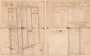
The plot of Carroll'sburgh : [part of Washington D.C.]
60.
Susquehanna & Sinnemahoning
‹ Prev
Next ›
1
2
3
4
5
6
7
…
23
24

![Plan of the city intended for the permanent seat of the government of t[he] United States](https://bpldcassets.blob.core.windows.net/derivatives/images/commonwealth:q524nf917/image_thumbnail_300.jpg)