Toggle navigation
LMEC Home
Exhibitions
Georeferencing
Tools for Teachers
Collections
My Favorites
Sign Up / Log In
Search
Search the map portal
Map Collection
Map Collection
Map Sets
Search
Search
Search for
Search In
All Fields
Creator
Title
Subject
Place
Search All Digital Collections
Advanced Search
376 Results
My Search
Start Over
More Like
commonwealth:q524n591k
Remove constraint More Like: commonwealth:q524n591k
Filter your Search
Place
North and Central America
366
United States
326
New York
89
New Jersey
75
Pennsylvania
33
Virginia
31
Rhode Island
28
Newport (county)
27
more
Place
»
Topic
United States--History--Revolution, 1775-1783--Maps
330
New Jersey--Maps
40
Newport (R.I.)--Maps
24
Pennsylvania--Maps
17
Charleston (S.C.)--Maps
16
Hudson River (N.Y. and N.J.)--Maps
16
New York (State)--Maps
14
Staten Island (New York, N.Y.)--Maps
13
more
Topic
»
Date
Date range begin
–
Date range end
Current results range from
1483
to
1943
View distribution
Creator
Clinton, Henry, Sir, 1738?-1795
17
Hills, John, active 1777-1819
13
André, John, 1751-1780
11
Montrésor, John, 1736-1799
10
Castries, Charles Eugène Gabriel de La Croix, marquis de, 1727-1801
8
D'Ethy, captain
8
Faden, William, 1749-1836
8
Martin, Reinhard Jacob
8
more
Creator
»
Format
Maps/Atlases
366
Manuscripts
6
Drawings/Illustrations
5
Photographs
3
Books
1
Documents
1
Georeferenced
Yes
16
No
360
Collection
American Revolutionary War-Era Maps
337
William L. Clements Library Collection
307
Norman B. Leventhal Map & Education Center Collection
44
American Antiquarian Society Collection
11
Boston and New England Maps
7
MacLean Collection Map Library
4
Newberry Library Collection
3
Urban Maps
3
more
Collection
»
Available to use
No known restrictions
45
Creative Commons license
5
Search Constraints
Sort by relevance
relevance
title
date (asc)
date (desc)
Number of results to display per page
20 per page
10
per page
20
per page
50
per page
100
per page
View results as:
grid view
map view
Search Results
261.
A plan of the town spot of Morris Town in Morris County for about three miles from the court house, made out from a view of the...
262.
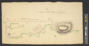
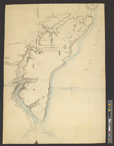
Plan of the works, which form the exterior line of defence, for the town of New-Port in Rhode Island : also of the batteries...
263.
Plan of Washingtons position
264.
Plan of West Point, Virginia
265.
Plan of Wilmington in the province of Nth: Carolina
266.
Plan von dem schiff-bauplatz bei Hallifax in Neuscholland
267.
Plan von Halifax in Nord-America
268.
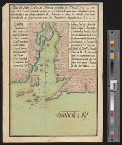
Plano del lago o rio de Movila situada su pta. en lt. N 30.10 en logd. 284.40 ms. Sacado se a consido consus nombres costas...
269.
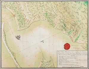
Plano del puerto de Panzacola en el qe. se manifiestan las marchas, campamentos y ataque de las tropas Espanolas : al mando del...
270.
Portsmouth
271.
Portsmouth and Norfolk
272.
Position of the army near Iron Hill
273.
Position of the troops under Earl Cornwallis on the 28 and 29th September 1781; when the enemy first appeared
274.
Positions of the British troops between the Hudson River and the Bronx River at Valentine's Hill
275.
Progress of the British army from Elk River to Philadelphia, 1777
276.
Proposed fortifications for Savannah
277.
Proposed redoubt at Canoe Place
278.
Providence and Newport
279.
The Rahway River valley, ca. 1780
280.
Reconnoissance des ouvrages de Ouët Point : etablis pour couvrir et assurer la communication des états du nord avec ceux du...
‹ Prev
Next ›
1
2
…
10
11
12
13
14
15
16
17
18
19