Toggle navigation
LMEC Home
Collections
My Favorites
Exhibitions
Georeferencing
Tools for Teachers
Sign Up / Log In
Search
Search the map portal
Search
Search
Search for
Search in
All Fields
Title
Subject
Place
Creator
Search All Digital Collections
Advanced Search
846 Results
Search Constraints
My Search
Start Over
More like
commonwealth:pr76n695t
Remove constraint More like: commonwealth:pr76n695t
Filter your Search
Show filters
Hide filters
Place
North and Central America
674
United States
662
Europe
87
North Pacific
84
California
68
France
56
Texas
40
Florida
32
more
Place
»
Topic
France--Maps
57
Aeronautical charts--North Pacific Ocean--Periodicals
52
Airports--California--Maps
36
Aeronautical charts--California
26
Airports--Texas--Maps
26
Aeronautical charts--Texas
23
Runways (Aeronautics)--California--Maps
20
Runways (Aeronautics)--Texas
18
more
Topic
»
Creator
United States. National Ocean Service
726
United States. Federal Aviation Administration
47
National Ocean Survey
30
Gross, Alexander, 1879-1958
8
Carey, Mathew, 1760-1839
5
Chatelain, Henri Abraham
3
G.W. Bacon & Co.
3
Geographisches Institut (Weimar, Thuringia, Germany)
3
more
Creator
»
Format
Maps/Atlases
843
Books
3
Georeferenced
Yes
13
No
833
Collection
U.S. Government Documents Maps Collection
762
Norman B. Leventhal Map & Education Center Collection
84
Boston and New England Maps
6
Maritime Charts and Atlases
1
Available to use
No known restrictions
846
Sort
by relevance
relevance
title
date (asc)
date (desc)
recently added
Number of results to display per page
20
per page
per page
10
per page
20
per page
50
per page
100
per page
Search Results
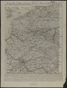
61.
Ground plan of where the greatest decision in history is being made secure
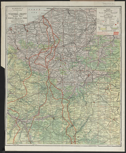
62.
Hammond's five mile maps of western front
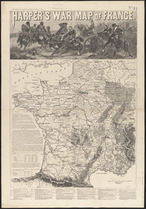
63.
Harper's war map of France
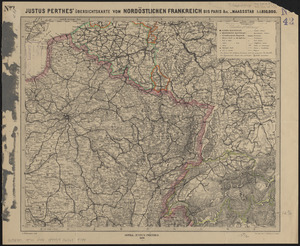
64.
Justus Perthes' übersichtskarte vom nordöstlichen Frankreich bis Paris &c
65.
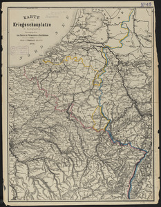
Karte vom kriegsschauplatze in autographie : herausgegeben zum besten der verwundeten u. hinterbliebenen
66.
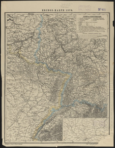
Kriegs-karte 1870
67.
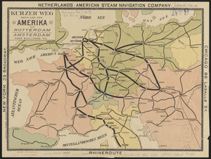
Kurzer weg nach und von Amerika via Rotterdam, Amsterdam oder Boulogne s/M
68.
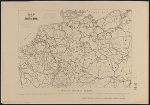
Map of the seat of war
69.
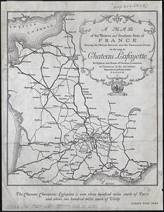
A map of the western and southern parts of France showing the motor routes and the principal cities on the way to Chateau...
70.
Maps of allied assaults on fortress Europe : Europe, France, Italy, Netherlands and Belgium
71.
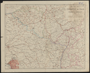
Military map of the theatre of war between France and Germany
72.
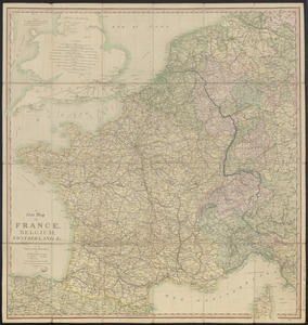
A new map of France, Belgium, Switzerland &c. : containing all the post & cross roads, with the rivers, & canals, also the old...
73.
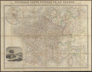
Nouvelle carte postale de la France, à l'usage des voyageurs, comprenant le nord de l'Italie, la Suisse, la Hollande, la...
74.
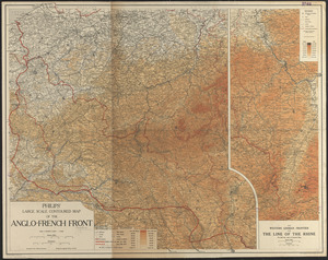
Philips' large scale contoured map of the Anglo-French front
75.
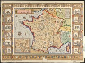
The picture map of France
76.
Specialkarte vom kriegsschauplatz am Rhein 1870 (Erfurt bis Paris) : Belgien, nordöstliches Frankreich, Luxembourg,...
77.
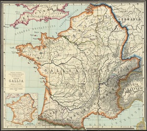
Tabulae maximae quibus illustrantur terrae veterum in usum scholarum
78.
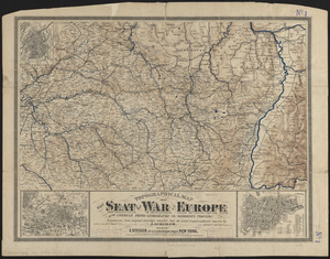
Topographical map of the seat of the war
79.
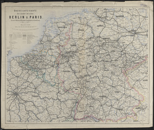
Übersichts-karte der länder zwischen Berlin u. Paris
80.
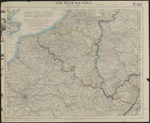
Vom Rhein bis Paris
« Previous
Next »
1
2
3
4
5
6
7
8
…
42
43