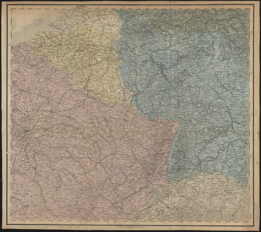
Specialkarte vom kriegsschauplatz am Rhein 1870 (Erfurt bis Paris) : Belgien, nordöstliches Frankreich, Luxembourg, südwest-Deutschland
Item Information
- Title:
- Specialkarte vom kriegsschauplatz am Rhein 1870 (Erfurt bis Paris) : Belgien, nordöstliches Frankreich, Luxembourg, südwest-Deutschland
- Publisher:
- Geographisches Institut (Weimar, Thuringia, Germany)
- Name on Item:
-
Geographisches Institut zu Weimar
- Date:
-
[1870]
- Format:
-
Maps/Atlases
- Location:
-
Boston Public Library
Norman B. Leventhal Map & Education Center - Collection (local):
-
Norman B. Leventhal Map & Education Center Collection
- Subjects:
-
Franco-Prussian War, 1870-1871--Maps
France--Maps
Germany--Maps
- Places:
-
France
Germany
- Extent:
- 1 map : color ; 50 x 55 cm
- Terms of Use:
-
No known copyright restrictions.
No known restrictions on use.
- Publisher:
-
Weimar :
Geographisches Institut
- Scale:
-
Scale approximately 1:1,200,000
- Language:
-
German
- Notes:
-
Title from panel pasted on verso.
Relief shown by hachures.
Prime meridian: Paris.
- Notes (date):
-
This date is inferred.
- Identifier:
-
06_01_014087
- Call #:
-
G5830 1870 .G46
- Barcode:
-
39999065699645


