Map of the seat of war
Item Information
- Title:
- Map of the seat of war
- Title (alt.):
-
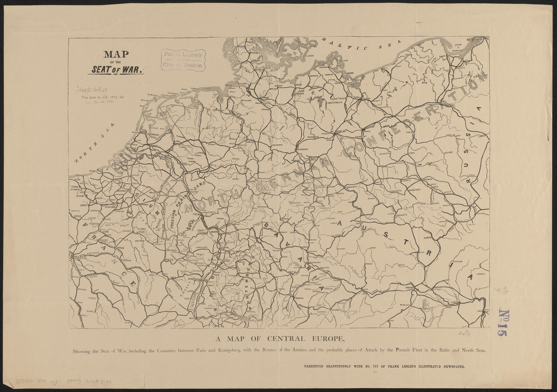
Map of Central Europe, showing the seat of war, including the countries between Paris and Konigsberg, with the routes of the armies, and the probable places of attack by the French fleet in the Baltic and North Seas
- Date:
-
[1870]
- Format:
-
Maps/Atlases
- Location:
-
Boston Public Library
Norman B. Leventhal Map & Education Center - Collection (local):
-
Norman B. Leventhal Map & Education Center Collection
- Subjects:
-
Franco-Prussian War, 1870-1871--Maps
France--Maps
Germany--Maps
- Places:
-
France
Germany
- Extent:
- 1 map ; 37 x 53 cm
- Terms of Use:
-
No known copyright restrictions.
No known restrictions on use.
- Publisher:
-
[Place of publication not identified] :
[publisher not identified]
- Scale:
-
Scale approximately 1:2,400,000
- Language:
-
English
- Notes:
-
In bottom margin: Presented gratuitously with no. 777 of Frank Leslie's illustrated newspaper. [Saturday, August 20, 1870].
- Notes (date):
-
This date is inferred.
- Identifier:
-
06_01_014036
- Call #:
-
G5700 1870 .M373
- Barcode:
-
39999065698043


