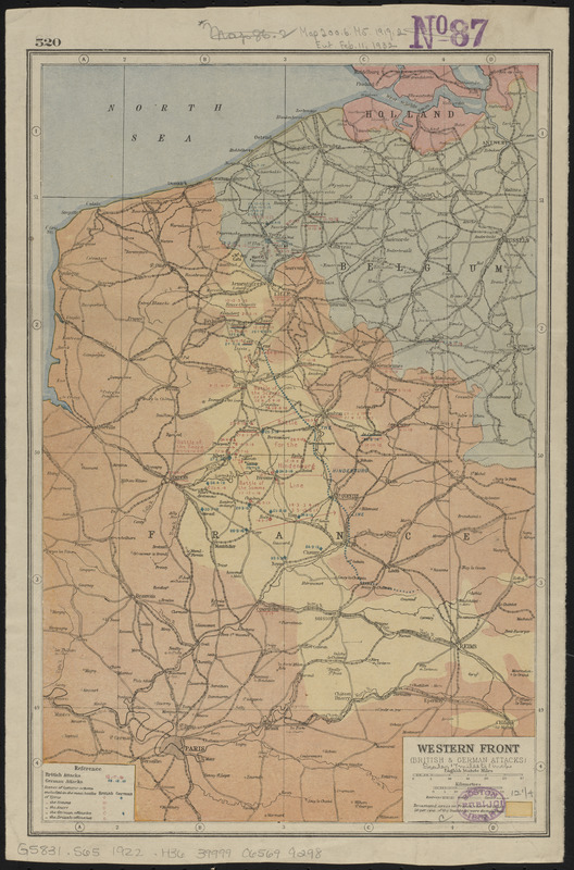
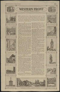
Western Front (British & German attacks)

Item Information
- Title:
- Western Front (British & German attacks)
- Contributor:
- Hammerton, J. A. (John Alexander), 1871-1949
- Date:
-
[1922?]
- Format:
-
Maps/Atlases
- Location:
-
Boston Public Library
Norman B. Leventhal Map & Education Center - Collection (local):
-
Norman B. Leventhal Map & Education Center Collection
- Subjects:
-
World War, 1914-1918--Maps
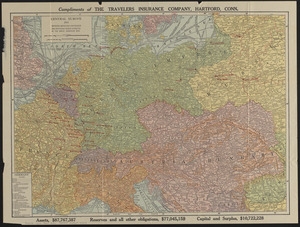
France--Maps
- Places:
-
France
- Extent:
- 1 map : color ; 31 x 21 cm
- Terms of Use:
-
No known copyright restrictions.
No known restrictions on use.
- Publisher:
-
[London] :
[publisher not identified]
- Scale:
-
Scale approximately 1:1,080,000
- Language:
-
English
- Notes:
-
Shows attacks, scenes of historic actions and devastated areas where at least 50% of buildings were demolished.
Text and illustrations on verso.
In upper right on verso: Harmsworth's new atlas.
Pages 519 and 520 from Harmsworth's atlas of the world.
- Identifier:
-
06_01_014114
06_01_016668
- Call #:
-
G5831.S65 1922 .H36
- Barcode:
-
39999065699298