Toggle navigation
LMEC Home
Exhibitions
Georeferencing
Tools for Teachers
Collections
My Favorites
Sign Up / Log In
Search
Search the map portal
Map Collection
Map Collection
Map Sets
Search
Search
Search for
Search In
All Fields
Creator
Title
Subject
Place
Search All Digital Collections
Advanced Search
260 Results
My Search
Start Over
More Like
commonwealth:p8418t77r
Remove constraint More Like: commonwealth:p8418t77r
Filter your Search
Place
North and Central America
183
North America
167
United States
97
Canada
24
Mexico
12
New York
11
West Indies
10
South America
9
more
Place
»
Topic
North America--Maps--Early works to 1800
180
United States--Maps--Early works to 1800
60
Canada--Maps--Early works to 1800
17
Great Britain--Colonies--America--Maps--Early works to 1800
17
Mexico--Maps--Early works to 1800
12
British--America--Maps--Early works to 1800
10
United States--History--Revolution, 1775-1783--Maps--Early works to 1800
10
West Indies--Maps--Early works to 1800
10
more
Topic
»
Date
Date range begin
–
Date range end
Current results range from
1528
to
1850
View distribution
Creator
Mitchell, John, 1711-1768
14
Jefferys, Thomas, -1771
13
Moll, Herman, d. 1732
12
Sayer, Robert, 1725-1794
12
Anville, Jean Baptiste Bourguignon d', 1697-1782
8
Faden, William, 1749-1836
7
Kitchin, Thomas, 1718-1784
7
L'Isle, Guillaume de, 1675-1726
6
more
Creator
»
Format
Maps/Atlases
260
Manuscripts
11
Georeferenced
Yes
9
No
251
Collection
American Revolutionary War-Era Maps
177
Norman B. Leventhal Map & Education Center Collection
146
New York Public Library Collection
45
Richard H. Brown Revolutionary War Map Collection at Mount Vernon
26
New-York Historical Society Collection
24
Mapping Boston Collection
11
Sidney R. Knafel Map Collection at Phillips Academy
9
Boston Athenaeum, Cartographic Collection
3
more
Collection
»
Available to use
No known restrictions
159
Creative Commons license
88
Search Constraints
Sort by date (asc)
relevance
title
date (asc)
date (desc)
Number of results to display per page
20 per page
10
per page
20
per page
50
per page
100
per page
View results as:
grid view
map view
Search Results
121.
Carte d'une partie de l'Amérique Septentrionale pour servir à l'intelligence du mémoire sur les prétentions des Anglois au...
122.
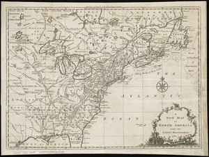
A new map of North America
123.
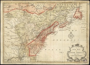
A new map of North America from the latest discoveries
124.
An accurate map of the British Empire in Nth. America as settled by the preliminaries in 1762
125.
An accurate map of the British, French & Spanish settlements in Nth. America and the West Indies : as stipulated by the...
126.
L'Amérique Septentrionale divisée en ses principaux états
127.
Chart of the Atlantic Ocean, with the British, French, & Spanish settlements in North America, and the West Indies : as also on...
128.
A general map of North America : in which is express'd the several new roads, forts, engagements, &c, taken from actual surveys...
129.
A general map of North America : in which is express'd the several new roads, forts, engagements, &c, taken from actual surveys...
130.
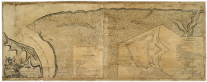
Plan of Niagara with the adjacent country surrendered to the English army under the command of Sr. Willm: Johnson Bart: on the...
131.
A map of North America, & the West India Islands, with part of South America, Europe, Africa & the Atlantic Ocean with it's...
132.
A new and accurate map of North America : laid down according to the latest, and most approved observations and discoveries
133.
A new and accurate map of North America : laid down according to the latest, and most approved observations and discoveries
134.
A new map of North America : with the British, French, Spanish, Dutch & Danish dominions on that great continent, and the West...
135.
A new map of North America from the latest discoveries
136.
A new map of North America wherein the British Dominions in the continent of North America : and on the islands of the West...
137.
Theodolite's pattern, shewing the provinces in North America which were in the respective possessions of England, France &...
138.
North America
139.
An accurate map of North America : describing and distinguishing the British, Spanish and French dominions on this great...
140.
Chart of the Atlantic Ocean, with the British, French, & Spanish settlements in North America, and the West Indies : as also on...
‹ Prev
Next ›
1
2
3
4
5
6
7
8
9
10
11
12
13