Toggle navigation
LMEC Home
Exhibitions
Georeferencing
Tools for Teachers
Collections
My Favorites
Sign Up / Log In
Search
Search the map portal
Map Collection
Map Collection
Map Sets
Search
Search
Search for
Search In
All Fields
Creator
Title
Subject
Place
Search All Digital Collections
Advanced Search
163 Results
My Search
Start Over
More Like
commonwealth:np198969j
Remove constraint More Like: commonwealth:np198969j
Filter your Search
Place
North and Central America
152
United States
148
Massachusetts
124
Hampden (county)
21
Springfield
19
Middlesex (county)
17
Worcester (county)
11
Bristol (county)
9
more
Place
»
Topic
Massachusetts--Maps
22
Springfield (Mass.)--Maps
20
Real property--Massachusetts--Springfield--Maps
13
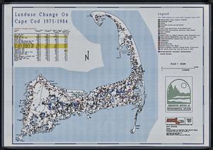
Longmeadow (Mass.)--Maps
7
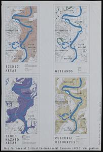
Real property--Massachusetts--Longmeadow--Maps
7
Landowners--Massachusetts--Springfield--Maps
6
Boston (Mass.)--Maps
5
Dedham (Mass.)--Maps
5
more
Topic
»
Date
Date range begin
–
Date range end
Current results range from
1827
to
2010
View distribution
Creator
Applied Geographics, Inc.
60
MassGIS (Office : Mass.)
56
Massachusetts. Executive Office of Environmental Affairs
32
Geological Survey (U.S.)
10
Massachusetts Bays Program
8
Massachusetts Coastal Zone Management Office
8
National Ocean Survey
6
Richards Map Company
5
more
Creator
»
Format
Maps/Atlases
162
Manuscripts
2
Ephemera
1
Georeferenced
No
163
Collection
Norman B. Leventhal Map & Education Center Collection
158
Applied Geographics, Inc. Records
143
Boston and New England Maps
126
Urban Maps
35
Maritime Charts and Atlases
17
Massachusetts Real Estate Atlases
5
Available to use
No known restrictions
158
Search Constraints
Sort by relevance
relevance
title
date (asc)
date (desc)
Number of results to display per page
20 per page
10
per page
20
per page
50
per page
100
per page
View results as:
grid view
map view
Search Results
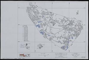
41.
Dorchester Bay
42.
Draft of a map of 1993 Massachusetts Senate legislative districts
43.
Eastern encephalitis risk area
44.
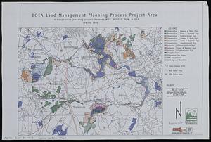
EOEA land management planning process project area : a cooperative planning project between MDC, DFWELE, DEM, & DFA
45.
EOEA wide area network
46.
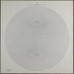
Equatorial azimuthal equidistant projection
47.
Executive Office of Environmental Affairs location of offices
48.
Facsimile general highway map urban area series Peabody
49.
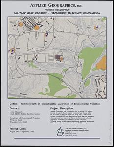
Fort Devens military base closure hazardous material remediation project
50.
Geologic map of Mars
51.
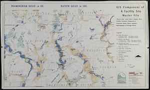
GIS component of a facility site master file : waste site' and public supply well facility locations compared to protected...
52.
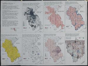
GIS mapping of risk factors for eastern equine encephalitis
53.
Hingham/Hull Massachusetts : Massachusetts CZM shoreline change analysis project
54.
Human uses in the coastal zone : comprehensive database assembly July 2006
55.
Index to 1:24,000-scale digital line graph (DLG) and digital elevation model (DEM) data
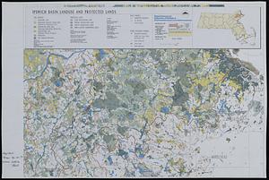
56.
Ipswich basin landuse and protected lands
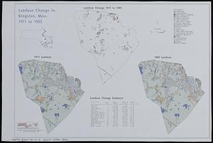
57.
Landuse change in Kingston, Mass. 1971-1985
58.
Landuse change on Cape Cod 1971-1984
59.
Location of manufacturers in Boston sheet 4 or 6
60.
Map for area of critical environmental concern (ACEC) designation
‹ Prev
Next ›
1
2
3
4
5
6
7
8
9