Toggle navigation
LMEC Home
Exhibitions
Georeferencing
Tools for Teachers
Collections
My Favorites
Sign Up / Log In
Search
Search the map portal
Map Collection
Map Collection
Map Sets
Search
Search
Search for
Search In
All Fields
Creator
Title
Subject
Place
Search All Digital Collections
Advanced Search
54 Results
My Search
Start Over
More Like
commonwealth:kd17gt588
Remove constraint More Like: commonwealth:kd17gt588
Filter your Search
Place
Canada
37
North and Central America
37
New France
25
Saint Lawrence River
13
Quebec
8
Québec
8
Province of New Brunswick
6
United States
5
more
Place
»
Topic
New France--Maps
25
Seven Years' War, 1756-1763--Campaigns--Canada--Maps
21
Saint Lawrence River--Maps
14
Canada--Maps--Early works to 1800
8
Fortification--Québec (Province)
8
Québec (Québec)--Maps
7
Seigneuries--Québec (Province)--Maps
6
New Brunswick--Maps--Early works to 1800
5
more
Topic
»
Date
Date range begin
–
Date range end
Current results range from
1752
to
1817
View distribution
Creator
Bellin, Jacques Nicolas, 1703-1772
8
Mackellar, Patrick, 1717-1778
7
Holland, Samuel, 1728-1801
6
Montrésor, John, 1736-1799
4
Collins, John, -1795
3
Duberger, Jean-Baptiste, 1767-1821
3
Gale, Samuel, 1747-1826
3
Cook, James, 1728-1779
2
more
Creator
»
Format
Maps/Atlases
54
Georeferenced
No
54
Collection
American Revolutionary War-Era Maps
54
Library and Archives Canada Collection
52
Maritime Charts and Atlases
2
Norman B. Leventhal Map & Education Center Collection
2
Available to use
No known restrictions
2
Search Constraints
Sort by relevance
relevance
title
date (asc)
date (desc)
Number of results to display per page
20 per page
10
per page
20
per page
50
per page
100
per page
View results as:
grid view
map view
Search Results
1.
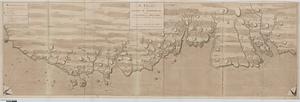
A plan of part of the province of New Brunswick, with the adjacent parts of the province of Lower Canada, and the territory of...
2.
Plan of part of the Province of Nova Scotia or Accadie
3.
Plan of the city and harbour of St. John in the Province of New Brunswick with a project for its defence, and shewing the...
4.
The harbours of Rishibucto & Buctush : on the west shore of the Gulph of St. Lawrence
5.
[Port Shediack and Cocagne]
6.
By order of His Excellency Guy Lord Dorchester... plan of part of the province of Lower Canada containing the country from the...
7.
Carte des découvertes qui ont été faites dans la partie occidentale du Canada sur les mémoires de Mr de la Varanderie [Vérendrye]
8.
Carte generale du Canada ou Nouvelle France
9.
A chart of the sea-coast of Newfoundland between St. Laurence and Point May survey'd by order of Hugh Palliser esqr. commodore...
10.
Cours du fleuve St. Laurent : deuxieme feuille : depuis Quebec jusqu'au havre des Papinachouas
11.
Cours du fleuve St. Laurent : premiere feuille : contenant depuis le Lac Ontario jusqu'a Quebec
12.
Cours du fleuve St. Laurent : troisieme feuille : depuis le mont Camille jusqu'a l'isle d'Anticosti
13.
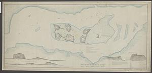
Fortifications on île aux Noix, Québec
14.
A general plan of Annapolis Royal
15.
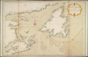
Golphe de Saint Laurent, contenant l'Isle de Terreneuve, Detroit de Belle-Isle, entrée du Fleuve St. Laurent, Isle Royale, et...
16.
Isle aux Noix
17.
A map of part of Canada for the use of His Majesty's Secretary of State, compiled in the Surveyor Generals Office, pursuant to...
18.
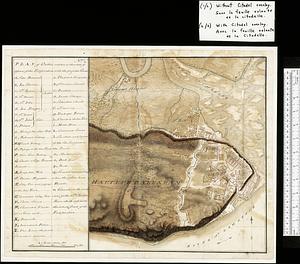
Map of Quebec City with plans of the citadel by Captain Samuel Holland for Report of the government of Quebec and dependencies
19.
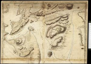
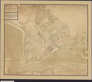
[Monongahela] no. 2 : a sketch of the field of battle &c, shewing the disposition of the troops about 2 o'clock when the whole...
20.
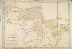
Partie occidentale du Canada contenant les lacs Ontario, Huron, Erié, et Lac Superieur
‹ Prev
Next ›
1
2
3

![[Port Shediack and Cocagne]](https://bpldcassets.blob.core.windows.net/derivatives/images/commonwealth:ws859h35r/image_thumbnail_300.jpg)

![Carte des découvertes qui ont été faites dans la partie occidentale du Canada sur les mémoires de Mr de la Varanderie [Vérendrye]](https://bpldcassets.blob.core.windows.net/derivatives/images/commonwealth:wp98ck41z/image_thumbnail_300.jpg)


![[Monongahela] no. 2 : a sketch of the field of battle &c, shewing the disposition of the troops about 2 o'clock when the whole of the main body had joined the advanced and working partys then beat back from the ground they occupied as in plan no. 1](https://bpldcassets.blob.core.windows.net/derivatives/images/commonwealth:j3863670v/image_thumbnail_300.jpg)