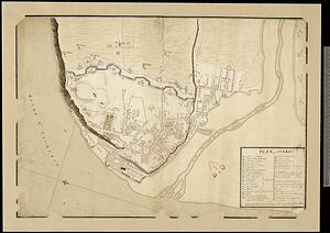
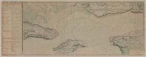
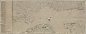
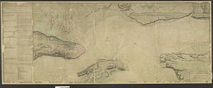
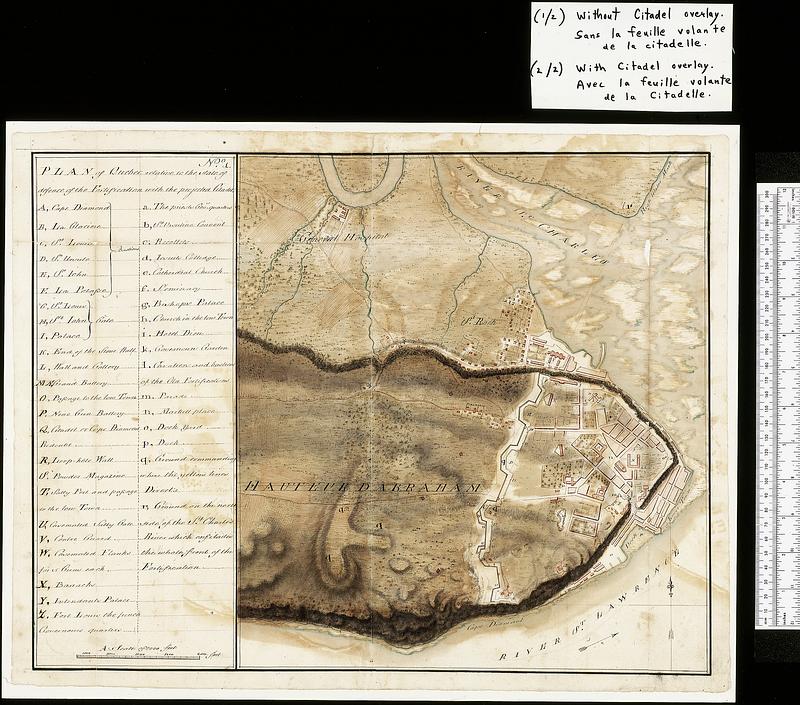
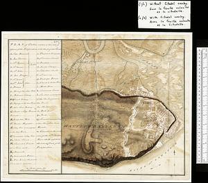
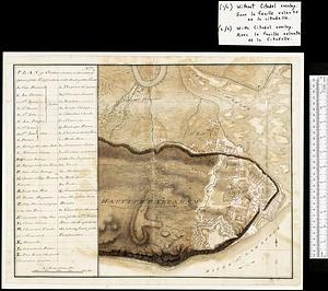
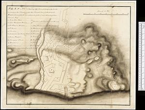
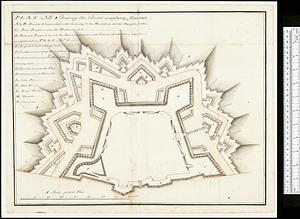
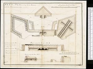
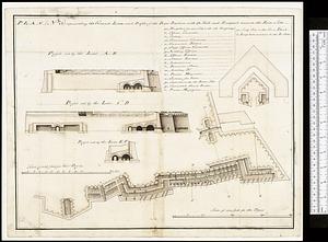
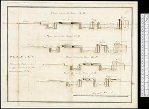
Map of Quebec City with plans of the citadel by Captain Samuel Holland for Report of the government of Quebec and dependencies
This map is also available in American Revolutionary Geographies Online (ARGO), a collections portal especially built for material relating to the American Revolutionary War Era. Visit ARGO to learn more about this item and explore the historical geography of North America in the late eighteenth century.
Item Information
- Title:
- Map of Quebec City with plans of the citadel by Captain Samuel Holland for Report of the government of Quebec and dependencies
- Cartographer:
- Holland, Samuel, 1728-1801
- Contributor:
- Murray, James, 1721-1794
- Date:
-
[1762]
- Format:
-
Maps/Atlases
- Genre:
-
Manuscript maps
- Location:
- Library and Archives Canada
- Collection (local):
-
Library and Archives Canada Collection
- Subjects:
-
Seven Years' War, 1756-1763--Campaigns--Canada--Maps
Québec (Québec)--Maps
Fortification--Québec (Province)
- Places:
-
CanadaQuébec
- Extent:
- 7 manuscript maps : hand color ; 48 x 60 cm or smaller
- Terms of Use:
-
Copyright expired. Contact host institution to download image.
Contact host institution for more information.
- Place of origin:
-
[Québec]
- Language:
-
English
- Catalog Record:
-
Catalog record
- Notes (date):
-
This date is inferred.
- Identifier:
-
n0002308k_1
n0002308k_2
n0002309k
n0002310k
n0002311k
n0002312k
n0002313k
- Barcode:
-
4137146