Toggle navigation
LMEC Home
Exhibitions
Georeferencing
Tools for Teachers
Collections
My Favorites
Sign Up / Log In
Search
Search the map portal
Map Collection
Map Collection
Map Sets
Search
Search
Search for
Search In
All Fields
Creator
Title
Subject
Place
Search All Digital Collections
Advanced Search
355 Results
My Search
Start Over
More Like
commonwealth:js957749v
Remove constraint More Like: commonwealth:js957749v
Filter your Search
Place
North and Central America
342
United States
337
Canada
25
North America
18
Mexico
10
West Indies
7
Louisiana
4
Massachusetts
4
more
Place
»
Topic
United States--Maps
327
Elections--United States--Maps
36
Railroads--United States--Maps
34
Canada--Maps
22
North America--Maps
15
Population density--United States--Maps
14
Indians of North America--Maps
12
Mexico--Maps
10
more
Topic
»
Date
Date range begin
–
Date range end
Current results range from
1750
to
2023
View distribution
Creator
Paullin, Charles Oscar, 1868 or 1869-1944
70
Wright, John Kirtland, 1891-1969
70
Geological Survey (U.S.)
16
Rand McNally and Company
7
Chase, Ernest Dudley, 1878-1966
5
United States. Office of Indian Affairs
5
Carey, Mathew, 1760-1839
4
Colton, G. Woolworth (George Woolworth), 1827-1901
4
more
Creator
»
Format
Maps/Atlases
350
Prints
5
Manuscripts
4
Books
1
Objects/Artifacts
1
Posters
1
Georeferenced
Yes
72
No
283
Collection
Norman B. Leventhal Map & Education Center Collection
305
American Revolutionary War-Era Maps
50
American Antiquarian Society Collection
20
William L. Clements Library Collection
15
MacLean Collection Map Library
13
David Judkins Weaver Papers
2
Mapping Boston Collection
2
New York Public Library Collection
2
more
Collection
»
Available to use
No known restrictions
227
Creative Commons license
9
Search Constraints
Sort by relevance
relevance
title
date (asc)
date (desc)
Number of results to display per page
20 per page
10
per page
20
per page
50
per page
100
per page
View results as:
grid view
map view
Search Results
61.
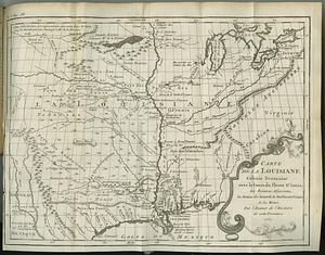
Carte de la Louisiane colonie francaise avec le cours du fleuve St. Louis, les rivieres adjacentes, les nations des naturels,...
62.
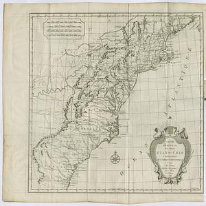
Carte des Etats-Unis
63.
Carte des Etats-Unis de l'Amérique-Nord : pour servir aux observations géologiqueir
64.
Carte des pays connus sous le nom de Canada, : dans laquelle sont distinguées les possessions françoises, et angl?
65.
Carte générale des États-Unis de l'Amérique avec les plans des principales villes
66.
Carte generale des treize Etats-Unis & independants de l'Amerique Septentrional
67.
Case's map of the United States, the British provinces, Mexico, and part of the West Indies : compiled from the latest...
68.
Catholic America : a pictorial map portraying the contribution of Catholics in the development of the United States of America...
69.
Civil airways of the United States as designated in Civil Air Regulations - chapter 60
70.
Clemens' silent teacher, dissected map of the United States and of each state in counties
71.
Colton's general map of the United States : showing the railroad routes across the continent
72.
Colton's map of the United States of America, the British provinces, Mexico and the West Indies : showing the country from the...
73.
Colton's new railroad map of the United States & Canada
74.
Colton's plans of U.S. harbors : showing the position & vicinities of the most important fortifications on the sea-board and in...
75.
Complete map of the rail roads and water courses in the United States & Canada
76.
Compromise of 1850, September 6, 1850, vote on passage of Texas-New Mexico provisions
77.
A correct map of the United States of North America. : Including the British and Spanish territories, carefully laid down...
78.
Density of population, 1790
79.
Density of population, 1800
80.
Density of population, 1810
‹ Prev
Next ›
1
2
3
4
5
6
7
8
…
17
18