Toggle navigation
LMEC Home
Exhibitions
Georeferencing
Tools for Teachers
Collections
My Favorites
Sign Up / Log In
Search
Search the map portal
Map Collection
Map Collection
Map Sets
Search
Search
Search for
Search In
All Fields
Creator
Title
Subject
Place
Search All Digital Collections
Advanced Search
355 Results
My Search
Start Over
More Like
commonwealth:js957749v
Remove constraint More Like: commonwealth:js957749v
Filter your Search
Place
North and Central America
342
United States
337
Canada
25
North America
18
Mexico
10
West Indies
7
Louisiana
4
Massachusetts
4
more
Place
»
Topic
United States--Maps
327
Elections--United States--Maps
36
Railroads--United States--Maps
34
Canada--Maps
22
North America--Maps
15
Population density--United States--Maps
14
Indians of North America--Maps
12
Mexico--Maps
10
more
Topic
»
Date
Date range begin
–
Date range end
Current results range from
1750
to
2023
View distribution
Creator
Paullin, Charles Oscar, 1868 or 1869-1944
70
Wright, John Kirtland, 1891-1969
70
Geological Survey (U.S.)
16
Rand McNally and Company
7
Chase, Ernest Dudley, 1878-1966
5
United States. Office of Indian Affairs
5
Carey, Mathew, 1760-1839
4
Colton, G. Woolworth (George Woolworth), 1827-1901
4
more
Creator
»
Format
Maps/Atlases
350
Prints
5
Manuscripts
4
Books
1
Objects/Artifacts
1
Posters
1
Georeferenced
Yes
72
No
283
Collection
Norman B. Leventhal Map & Education Center Collection
305
American Revolutionary War-Era Maps
50
American Antiquarian Society Collection
20
William L. Clements Library Collection
15
MacLean Collection Map Library
13
David Judkins Weaver Papers
2
Mapping Boston Collection
2
New York Public Library Collection
2
more
Collection
»
Available to use
No known restrictions
227
Creative Commons license
9
Search Constraints
Sort by relevance
relevance
title
date (asc)
date (desc)
Number of results to display per page
20 per page
10
per page
20
per page
50
per page
100
per page
View results as:
grid view
map view
Search Results
1.
Map of North America from 20 to 80 degrees north latitude : exhibiting the recent discoveries, geographical and nautical; drawn...
2.
Map showing Indian reservations within the limits of the United States, 1901
3.
Map showing Indian reservations within the limits of the United States, 1903
4.
Map showing Indian reservations within the limits of the United States, 1904
5.
Map showing Indian reservations within the limits of the United States, 1905
6.
Map showing Indian reservations within the limits of the United States, 1906
7.
Indians of the U.S.A.
8.
Map showing distribution of indian stocks and tribes, between 1710-1720
9.
Lilawaste Lake Country refuge-to-be
10.
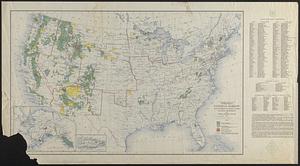
National forests, state forests, national parks, national monuments and Indian reservations
11.
United States, including territories and insular possessions, showing the extent of public surveys, Indian, military and forest...
12.
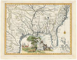
Carta geografica della Florida nell' America settentrional
13.
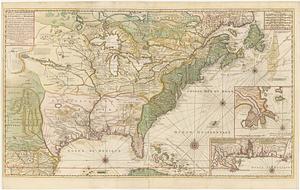
Carte de la Nouvelle France ou se voit le cours des grandes rivieres de S. Laurens & de Mississipi aujour d'hui S. Louis, aux...
14.
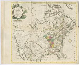
A map of North America, denoting the boundaries of the yearly meetings of Friends and the locations of the various Indian tribes
15.
Map of the United States and their territory
16.
A new map of North America : from the latest discoveries
17.
North America
18.
Nouveau Mexique, Louisiane, Canada, et les Etats Unis
19.
A plan of Captain Carvers travels in the interior parts of North America in 1776 and 1767
20.
Proposed redoubt at Canoe Place
‹ Prev
Next ›
1
2
3
4
5
…
17
18