Toggle navigation
LMEC Home
Exhibitions
Georeferencing
Tools for Teachers
Collections
My Favorites
Sign Up / Log In
Search
Search the map portal
Map Collection
Map Collection
Map Sets
Search
Search
Search for
Search In
All Fields
Creator
Title
Subject
Place
Search All Digital Collections
Advanced Search
8574 Results
My Search
Start Over
More Like
commonwealth:js956k55w
Remove constraint More Like: commonwealth:js956k55w
Filter your Search
Place
North and Central America
5,869
United States
4,793
Massachusetts
2,052
Europe
1,359
Suffolk (county)
1,058
Boston
1,031
Canada
448
Asia
422
more
Place
»
Topic
Boston (Mass.)--Maps
578
United States--Maps
273
Real property--Massachusetts--Boston--Maps
177
Massachusetts--Maps
160
Landowners--Massachusetts--Boston--Maps
135
North America--Maps--Early works to 1800
103
New England--Maps
99
City planning--Massachusetts--Boston--Maps
86
more
Topic
»
Date
Date range begin
–
Date range end
Current results range from
1482
to
2023
View distribution
Creator
United States. Hydrographic Office
594
O.H. Bailey & Co
148
Des Barres, Joseph F. W. (Joseph Frederick Wallet), 1722-1824
123
United States. Post Office Dept
120
Ptolemy, 2nd cent
100
Walling, Henry Francis, 1825-1888
94
Boston Redevelopment Authority
90
Geological Survey (U.S.)
86
more
Creator
»
Format
Maps/Atlases
8,515
Manuscripts
215
Prints
56
Books
36
Objects/Artifacts
10
Drawings/Illustrations
8
Posters
4
Georeferenced
Yes
869
No
7,705
Collection
Norman B. Leventhal Map & Education Center Collection
8,550
Boston and New England Maps
2,225
Urban Maps
1,957
Maritime Charts and Atlases
1,081
American Revolutionary War-Era Maps
616
Boston Redevelopment Authority Collection
108
Massachusetts Real Estate Atlases
3
Mapping Boston Collection
1
Available to use
No known restrictions
8,429
Creative Commons license
47
Search Constraints
Sort by relevance
relevance
title
date (asc)
date (desc)
Number of results to display per page
20 per page
10
per page
20
per page
50
per page
100
per page
View results as:
grid view
map view
Search Results
41.
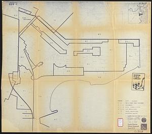
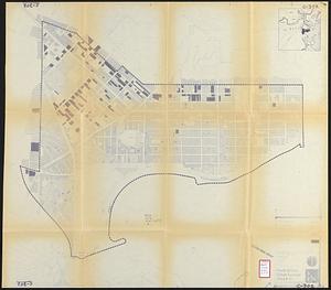
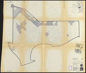
South Boston urban renewal area r-51 : proposed zoning
42.
South Boston urban renewal area r-51 : existing building condition
43.
South Boston urban renewal area r-51 : proposed treatment and title I project
44.
The 100th anniversary map of Abraham Lincoln's visit to Massachusetts, September 11-23, 1848
45.
1630 shoreline
46.
1879. Progress map of the U.S. Geographical Surveys west of the 100th Meridian : prepared under the direction of 1st Lieut....
47.
1903 Map of Salem and surrounding places
48.
19th annual convention of the National Association of Real Estate Boards : at Tulsa, June 7 to June 11 in 1926
49.
2005 significant U.S. hurricane strikes
50.
The 2100 project : an atlas for the Green New Deal
51.
227 Harzgerode
52.
305 Glatz
53.
38,000,000 escaped -- 10,000,000 died
54.
4 Kinten
55.
660 Wakulah St., Roxbury
56.
[A chart of Boston Bay and vicinity]
57.
[A chart of New York Island & North River : East River, passage through Hell Gate, Flushing Bay, Hampstead Bay, Oyster,...
58.
The A.A.A. key road map of continental Europe
59.
Aaron Bohrod's America, its history
60.
ABC pathfinder railway guide map : eastern division
‹ Prev
Next ›
1
2
3
4
5
6
7
…
428
429


![[A chart of Boston Bay and vicinity]](https://bpldcassets.blob.core.windows.net/derivatives/images/commonwealth:cj82m2976/image_thumbnail_300.jpg)


