Toggle navigation
LMEC Home
Exhibitions
Georeferencing
Tools for Teachers
Collections
My Favorites
Sign Up / Log In
Search
Search the map portal
Map Collection
Map Collection
Map Sets
Search
Search
Search for
Search In
All Fields
Creator
Title
Subject
Place
Search All Digital Collections
Advanced Search
702 Results
My Search
Start Over
More Like
commonwealth:j6736m70j
Remove constraint More Like: commonwealth:j6736m70j
Filter your Search
Place
North and Central America
646
United States
523
Canada
84
North America
80
New York
24
Pennsylvania
19
Asia
17
Mexico
14
more
Place
»
Topic
United States--Maps
330
North America--Maps--Early works to 1800
59
United States--Maps--Early works to 1800
44
Canada--Maps--Early works to 1800
38
Elections--United States--Maps
36
Railroads--United States--Maps
34
Canada--Maps
22
North America--Maps
17
more
Topic
»
Date
Date range begin
–
Date range end
Current results range from
1623
to
2023
View distribution
Creator
Paullin, Charles Oscar, 1868 or 1869-1944
70
Wright, John Kirtland, 1891-1969
70
Jefferys, Thomas, -1771
18
Bellin, Jacques Nicolas, 1703-1772
17
Geological Survey (U.S.)
15
Gibson, J. (John), active 1750-1792
15
Robert Sayer and John Bennett (Firm)
15
Carleton, Osgood, 1742-1816
14
more
Creator
»
Format
Maps/Atlases
698
Manuscripts
4
Paintings
3
Prints
3
Objects/Artifacts
2
Books
1
Ephemera
1
Posters
1
Georeferenced
Yes
65
No
637
Collection
MacLean Collection Map Library
379
American Revolutionary War-Era Maps
366
Norman B. Leventhal Map & Education Center Collection
289
American Antiquarian Society Collection
20
William L. Clements Library Collection
13
David Judkins Weaver Papers
2
Mapping Boston Collection
2
Applied Geographics, Inc. Records
1
more
Collection
»
Available to use
No known restrictions
214
Creative Commons license
5
Search Constraints
Sort by relevance
relevance
title
date (asc)
date (desc)
Number of results to display per page
20 per page
10
per page
20
per page
50
per page
100
per page
View results as:
grid view
map view
Search Results
441.
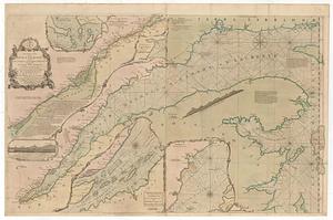
An exact chart of the river S.t Laurence, from Fort Frontenac to the island of Anticosti shewing the soundings, rocks, shoals...
442.
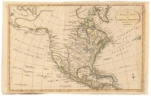
An exact map of North America from the best authorities
443.
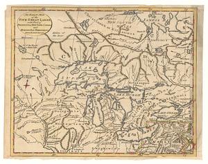
An exact map of the five great lakes, with part of Pensilvania, New York, Canada and Hudson Bay territories : from the best...
444.
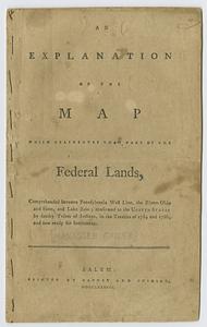
An explanation of the map which delineates that part of the federal lands, comprehended between Pennsylvania west line, the...
445.
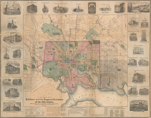
F. Klemm's map of Baltimore and the proposed extension of the city limits
446.
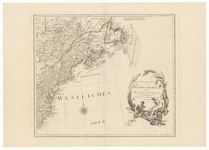
General karte von Nord America samt den Westindischen Inseln
447.
A general map of North America; in which is express'd the several new roads, forts, engagements, &c. taken from actual surveys...
448.
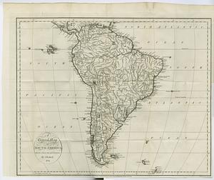
A general map of South America : drawn from the best surveys
449.
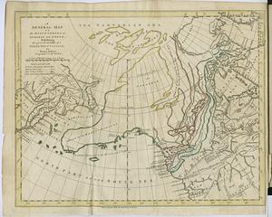
A general map of the discoveries of Admiral de Fonte, exhibiting the great probability of a north-west passage
450.
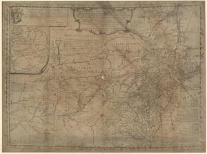
A general map of the Middle British Colonies, in America: viz Virginia, Mariland, Delaware, Pensilvania, New-Jersey, New-York,...
451.
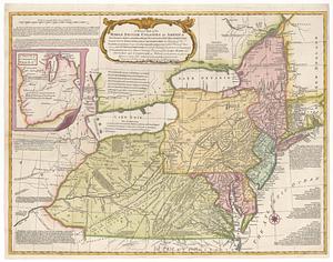
A general map of the Middle British Colonies in America viz. Virginia, Maryland, Delaware, Pensilvania, New-Jersey New York,...
452.
A general map of the Middle British Colonies in America viz. Virginia, Maryland, Delaware, Pensilvania, New-Jersey New York,...
453.
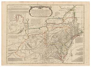
A general map of the Middle British Colonies in America viz. Virginia, Maryland, Delaware, Pensilvania, of Aquanishuonigy the...
454.
A general map of the Middle British Colonies in America viz. Virginia, Maryland, Delaware, Pensilvania, of Aquanishuonigy the...
455.
A general map of the world, or terraqueous globe : with all the new discoveries and marginal delineations, containing the most...
456.
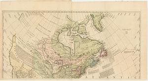
Generalkarte von Nordamerika samt den Westindischen Inseln
457.
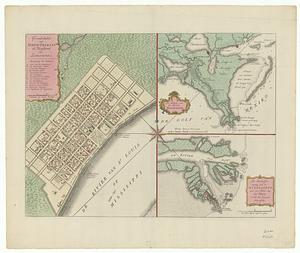
Grondvlakte van Nieuw Orleans, de hoofdstad van Louisiana ; de uitloop van de Rivier Missisippi ; de oostelyke ingang van de...
458.
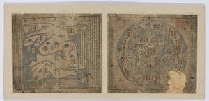
Haejwa do
459.
Joseon yojido
460.
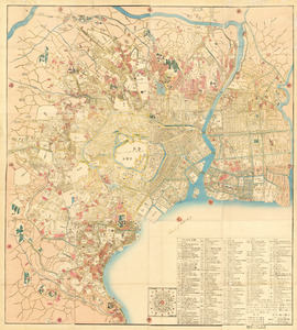
Kaisei On’edo oezu
‹ Prev
Next ›
1
2
…
19
20
21
22
23
24
25
26
27
…
35
36