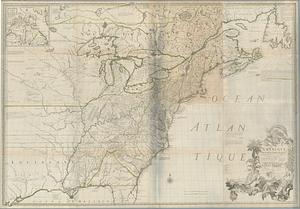
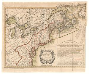
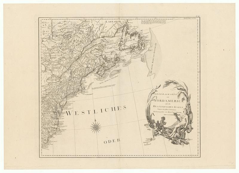
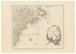
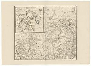
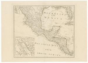
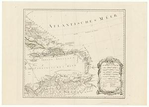
General karte von Nord America samt den Westindischen Inseln
This map is also available in American Revolutionary Geographies Online (ARGO), a collections portal especially built for material relating to the American Revolutionary War Era. Visit ARGO to learn more about this item and explore the historical geography of North America in the late eighteenth century.
Item Information
- Title:
- General karte von Nord America samt den Westindischen Inseln
- Contributor:
- Stenger, Johann, 1767-1802
- Publisher:
- Schrämbl, Franz Anton, 1751-1803
- Name on Item:
-
verfasst von herrn Pownall neu herausgegeben von Herrn F.A. Schraembl
- Date:
-
1788
- Format:
-
Maps/Atlases
- Location:
- MacLean Collection Map Library
- Collection (local):
-
MacLean Collection Map Library
- Subjects:
-
North America--Maps
- Places:
-
North America (area)
- Extent:
- 1 map ; 1016 x 1169 mm
- Terms of Use:
-
Public Domain/No known restrictions on use. Contact host institution to download image.
Contact host institution for more information.
- Publisher:
-
Germany :
Anton, Franz
- Language:
-
German
- Identifier:
-
MC_12245
- Call #:
-
12245