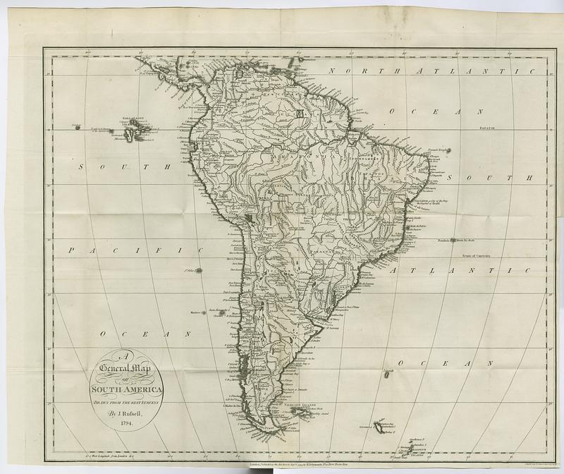
A general map of South America : drawn from the best surveys
This map is also available in American Revolutionary Geographies Online (ARGO), a collections portal especially built for material relating to the American Revolutionary War Era. Visit ARGO to learn more about this item and explore the historical geography of North America in the late eighteenth century.
Item Information
- Title:
- A general map of South America : drawn from the best surveys
- Contributor:
- Winterbotham, William, 1763-1829
- Publisher:
- Ridgway, James
- Publisher:
- Symonds, H. D. (Henry Delahoy)
- Name on Item:
-
by J. Russell
- Date:
-
1795
- Format:
-
Maps/Atlases
- Location:
- MacLean Collection Map Library
- Collection (local):
-
MacLean Collection Map Library
- Subjects:
-
South America--Maps--Early works to 1800
- Places:
-
South America
- Extent:
- 2 maps ; 390 x 480 mm
- Terms of Use:
-
Public Domain/No known restrictions on use. Contact host institution to download image.
Contact host institution for more information.
- Publisher:
-
London :
Printed for the editor, J.Ridgway, H.D.Symonds
- Edition:
- First edition
- Language:
-
English
- Notes:
-
In Winterbotham's An historical geographical, commercial, and philosophical view of the American United States, and of the European settlements in America and the West-Indies (London: Printed for the editor, 1795).
- Identifier:
-
MC_21150
- Call #:
-
21150


