Toggle navigation
LMEC Home
Exhibitions
Georeferencing
Tools for Teachers
Collections
My Favorites
Sign Up / Log In
Search
Search the map portal
Map Collection
Map Collection
Map Sets
Search
Search
Search for
Search In
All Fields
Creator
Title
Subject
Place
Search All Digital Collections
Advanced Search
168 Results
My Search
Start Over
More Like
commonwealth:j38608312
Remove constraint More Like: commonwealth:j38608312
Filter your Search
Place
North and Central America
97
North America
62
South America
59
Mesoamerica
56
America
51
United States
34
New England
20
Massachusetts
16
more
Place
»
Topic
America--Maps--Early works to 1800
72
Western Hemisphere--Maps--Early works to 1800
50
New England--Maps--Early works to 1800
15
World maps--Early works to 1800
15
North America--Maps--Early works to 1800
12
Asia--Maps--Early works to 1800
11
Massachusetts--Maps
8
Connecticut--Maps--Early works to 1800
5
more
Topic
»
Date
Date range begin
–
Date range end
Current results range from
1482
to
1990
View distribution
Creator
Ortelius, Abraham, 1527-1598
9
Blaeu, Willem Janszoon, 1571-1638
4
Speed, John, 1552?-1629
4
Wit, Frederik de.
4
Allard, Huych, 1625-1691
3
Bew, John, -1793
3
Bordon, Benedetto, 1450-1530
3
Danckerts, Justus, 1635-1701
3
more
Creator
»
Format
Maps/Atlases
168
Books
1
Georeferenced
Yes
13
No
155
Collection
Sidney R. Knafel Map Collection at Phillips Academy
87
Norman B. Leventhal Map Center Collection
75
American Revolutionary War-Era Maps
35
New York Public Library Collection
4
Mapping Boston Collection
3
Maritime Charts and Atlases
2
Richard H. Brown Revolutionary War Map Collection at Mount Vernon
2
Available to use
No known restrictions
72
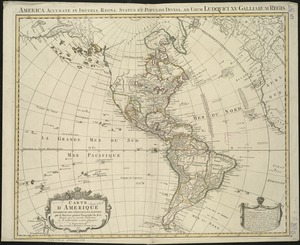
Creative Commons license
9
Search Constraints
Sort by date (asc)
relevance
title
date (asc)
date (desc)
Number of results to display per page
20 per page
10
per page
20
per page
50
per page
100
per page
View results as:
grid view
map view
Search Results
121.
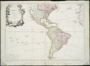
L'Amerique : divisée en ses principaux etats, assujetie aux observations astronomiqes
122.
L'Amerique divisée par grand etats
123.
Porti della Nuova York e Perthamboy
124.
Baye et port d'Yorc, capitale de la Nouvelle Yorc
125.
Carte de la Nouvelle Angleterre, New York, Pensilvanie et Nouveau Jersay suivant les cartes angloises
126.
A map of the n.e. part of Asia, and n.w. parts of America, shewing their situations with respect to Japan
127.
A chart of the gulf stream
128.
A new general map of America
129.
Part of east New Jarsey, New York, and Connecticut
130.
Partie de la carte du Capitaine Cluny, auteur d'un ouvrage anglois intitulé American Traveller publié à Londres en 1769
131.
Carte d'Amerique divisées en ses principales parties
132.
Second part of Asia : being China, part of India and Tartary, the islands of Sonda, Molucka, Philippin, Japan &c. ; performed...
133.
A new and accurate map of the present seat of war in North America : from a late survey
134.
Bowles's new pocket map of the most inhabited part of New England : comprehending the provinces of Massachusets Bay and New...
135.
Chart of the track of the Dolphin, Tamar, Swallow & Endeavour through the South Seas ; & of the track of M. Bougainville round...
136.
The American Atlas or, A Geographical Description of the whole continent of America : wherein are delineated at large, its...
137.
An accurate map of Rhode Island, part of Connecticut and Massachusets, shewing Admiral Arbuthnot's station in blocking up...
138.
A new and accurate map of the colony of Massachusets Bay, in North America, from a late survey
139.
Chart and plan of the harbour of New York & the couny. adjacent, from Sandy Hook to Kingsbridge, comprehending the whole of New...
140.
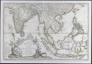
Carte du theatre de la guerre dans l'Inde ou se trouve une partie de la Chine; les isles Sumatra, Java, Borneo, Moluques et...
‹ Prev
Next ›
1
2
3
4
5
6
7
8
9