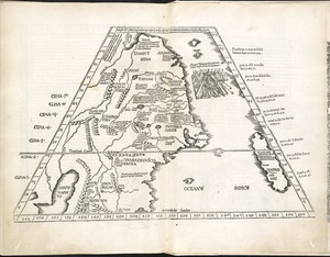
Second part of Asia : being China, part of India and Tartary, the islands of Sonda, Molucka, Philippin, Japan &c. ; performed by Mr. Danville, under the noble favor of the Duke of Orleans

Item Information
- Title:
- Second part of Asia : being China, part of India and Tartary, the islands of Sonda, Molucka, Philippin, Japan &c. ; performed by Mr. Danville, under the noble favor of the Duke of Orleans
- Cartographer:
- Bolton, Solomon, -approximately 1768
- Cartographer:
- Anville, Jean Baptiste Bourguignon d', 1697-1782
- Engraver:
- Seale, Richard William
- Name on Item:
-
revised and improved by Mr. Bolton ; R.W. Seale sculp.
- Date:
-
[1774]
- Format:
-
Maps/Atlases
- Location:
-
Boston Public Library
Norman B. Leventhal Map & Education Center - Collection (local):
-
Norman B. Leventhal Map & Education Center Collection
- Subjects:
-
Southeast Asia--Maps--Early works to 1800
East Asia--Maps--Early works to 1800
- Places:
-
Southeast Asia (area)
East Asia (area)
- Extent:
- 1 map on 4 sheets ; 94 x 70 cm, on sheets 56 x 45 cm
- Terms of Use:
-
No known copyright restrictions.
No known restrictions on use.
- Publisher:
-
[London] :
[Printed for W. Strahan, J. and F. Rivington, J. Hinton [and others]]
- Scale:
-
Scale approximately 1:7,250,000
- Language:
-
English
- Table of Contents:
-
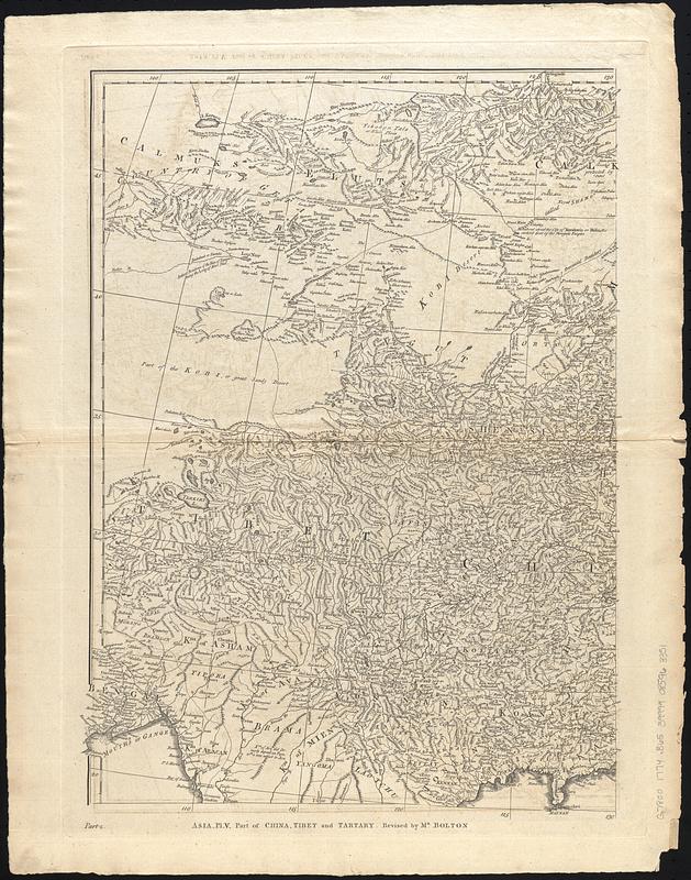
Asia, pl. V. Part of China, Tibet and Tartary
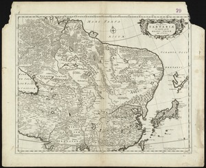
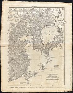
Asia, plate VI. Japan, Corea, the Monguls, and part of China
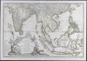
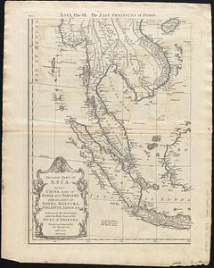
Asia, plate VII. The east peninsula of India
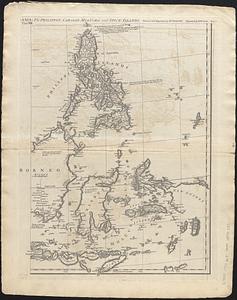
(Asia) plate VIII. The Philippin, Carolin, Molucka, and Spice Islands
- Notes:
-
Relief shown pictorially.
From The universal dictionary of trade and commerce volume I / by Malachy Postlethwayt. 4th edition. London : Printed for W. Strahan, J. and F. Rivington, J. Hinton [and others], 1774.
"Part 2."
- Notes (date):
-
This date is inferred.
- Identifier:
-
06_01_017827-C
06_01_017827-B
06_01_017827-A
06_01_017827-D
- Call #:
-
G7800 1774 .B65
- Barcode:
-
39999085963351