Toggle navigation
LMEC Home
Exhibitions
Georeferencing
Tools for Teachers
Collections
My Favorites
Sign Up / Log In
Search
Search the map portal
Map Collection
Map Collection
Map Sets
Search
Search
Search for
Search In
All Fields
Creator
Title
Subject
Place
Search All Digital Collections
Advanced Search
320 Results
My Search
Start Over
More Like
commonwealth:hq37vw00x
Remove constraint More Like: commonwealth:hq37vw00x
Filter your Search
Place
North America
228
North and Central America
226
United States
63
New England
24
Massachusetts
17
Canada
16
New York
10
Rhode Island
8
more
Place
»
Topic
North America--Maps--Early works to 1800
240
Great Britain--Colonies--America--Maps--Early works to 1800
18
New England--Maps--Early works to 1800
18
United States--Maps--Early works to 1800
13
World maps--Early works to 1800
13
America--Maps--Early works to 1800
12
Canada--Maps--Early works to 1800
11
British--America--Maps--Early works to 1800
10
more
Topic
»
Date
Date range begin
–
Date range end
Current results range from
1482
to
1990
View distribution
Creator
Mitchell, John, 1711-1768
17
Sayer, Robert, 1725-1794
15
Gibson, J. (John), active 1750-1792
14
Jefferys, Thomas, -1771
14
Bowen, Emanuel, 1693 or 1694-1767
11
Moll, Herman, d. 1732
11
Anville, Jean Baptiste Bourguignon d', 1697-1782
10
Palairet, Jean, 1697-1774
8
more
Creator
»
Format
Maps/Atlases
320
Manuscripts
2
Books
1
Georeferenced
Yes
13
No
307
Collection
American Revolutionary War-Era Maps
198
Norman B. Leventhal Map & Education Center Collection
113
Sidney R. Knafel Map Collection at Phillips Academy
87
MacLean Collection Map Library
59
New York Public Library Collection
32
Richard H. Brown Revolutionary War Map Collection at Mount Vernon
18
Mapping Boston Collection
10
British Library Collection
3
more
Collection
»
Available to use
No known restrictions
107
Creative Commons license
64
Search Constraints
Sort by relevance
relevance
title
date (asc)
date (desc)
Number of results to display per page
20 per page
10
per page
20
per page
50
per page
100
per page
View results as:
grid view
map view
Search Results
141.
A map of the n.e. part of Asia, and n.w. parts of America, shewing their situations with respect to Japan
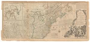
142.
A map of the northern and middle states : comprehending the western territory & the British dominions in North America : from...
143.
Map of the northern, or, New England states of America, comprehending Vermont, New Hampshire, District of Main, Massachusetts,...
144.
Mappa geographica Americae Septentrionalis : ad emendatiora exemplaria adhuc edita jussu Acad. reg. scient. et eleg. litt....
145.
Mappa geographica Americæ Septentrionalis ad emendatiora exemplaria
146.
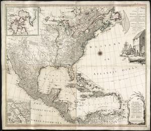
Mexicum in hac forma in lucem
147.
New & accurate map of North America : with the new discovered islands on the north east coast of Asia
148.
A new & accurate map of North America : drawn from the most authentic modern maps and charts
149.
A new and accurate map of North America : laid down according to the latest, and most approved observations and discoveries
150.
A new and accurate map of North America
151.
A new and accurate map of North America : laid down according to the latest, and most approved observations and discoveries
152.
A new and accurate map of North America, drawn from the famous M.r d'Anville with improvements from the best English maps
153.
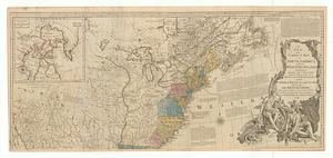
A new and accurate map of the English empire in North America : representing their rightful claim as confirm'd by charters, and...
154.
A new and accurate map of the English empire in North America : representing their rightful claim as confirm'd by charters, and...
155.
A new and accurate map of the English empire in North America: representing their rightful claim as confirm'd by charters, and...
156.
A new and correct map of North America : with the West India Islands divided according to the last treaty of peace, concluded...
157.
A new and correct map of North America, with the West India Islands : divided according to the last Treaty of Peace, concluded...
158.
A new and correct map of North America with the West India Islands : divided according to the last treaty of peace, concluded...
159.
A new and correct map of North America, with the West India Islands : divided according to the last Treaty of Peace, concluded...
160.
A new and correct map of North America; with the West India Islands : divided according to the last treaty of peace, concluded...
‹ Prev
Next ›
1
2
…
4
5
6
7
8
9
10
11
12
…
15
16