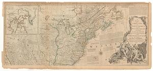
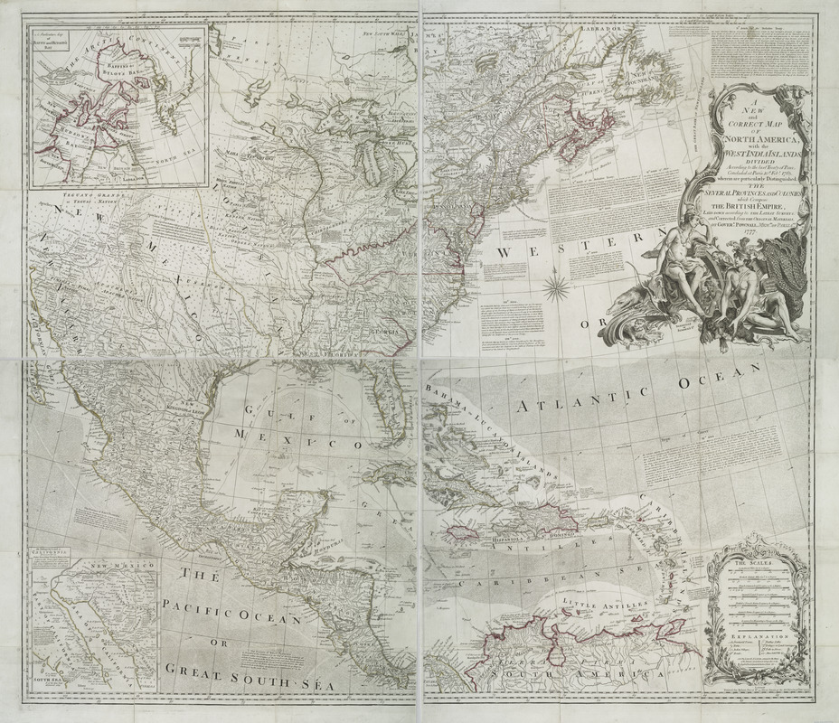
A new and correct map of North America with the West India Islands : divided according to the last treaty of peace, concluded at Paris, 10th Feby. 1763 ; wherein are particularly distinguished, the several provinces and colonies, which compose the British Empire
This map is also available in American Revolutionary Geographies Online (ARGO), a collections portal especially built for material relating to the American Revolutionary War Era. Visit ARGO to learn more about this item and explore the historical geography of North America in the late eighteenth century.
Item Information
- Title:
- A new and correct map of North America with the West India Islands : divided according to the last treaty of peace, concluded at Paris, 10th Feby. 1763 ; wherein are particularly distinguished, the several provinces and colonies, which compose the British Empire
- Creator:
- Pownall, Thomas, 1722-1805
- Contributor:
- Sayer, Robert, 1725-1794
- Name on Item:
-
laid down according to the latest surveys, and corrected from the original materials, of Goverr. Pownall, Membr. of Parliamt.
- Date:
-
1777
- Format:
-
Maps/Atlases
- Location:
- New York Public Library
- Collection (local):
-
Maps of North America
- Subjects:
-
North America--Maps--Early works to 1800
West Indies--Maps--Early works to 1800
Great Britain--Colonies--America--Maps--Early works to 1800
United States--Maps--Early works to 1800
- Places:
-
North America (area)
West Indies
- Extent:
- 1 map on 4 sheets : hand col. ; 99 x 114 cm., sheets 57 x 62 cm. or smaller.
- Terms of Use:
-
No known copyright restrictions.
This work is licensed for use under a Creative Commons Attribution Non-Commercial Share Alike License (CC BY-NC-SA).

- Publisher:
-
London :
Printed for Robert Sayer, No. 53 Fleet Street ...
- Scale:
-
Scale [ca. 1:5,000,000]
- Language:
-
English
- Catalog Record:
-
https://digitalcollections.nypl.org/items/510d47da-f0eb-a3d9-e040-e00a18064a99
- Notes:
-
Relief shown pictorially.
"In the Act Directs."
Prime meridian: London and Ferro.
Includes decorative cartouche, historical notes, and articles 4-7, 9, 17, 18, and 20 of the "definitive treaty."
Insets: A particular map of Baffin and Hudson's Bay -- The passage by land to California.