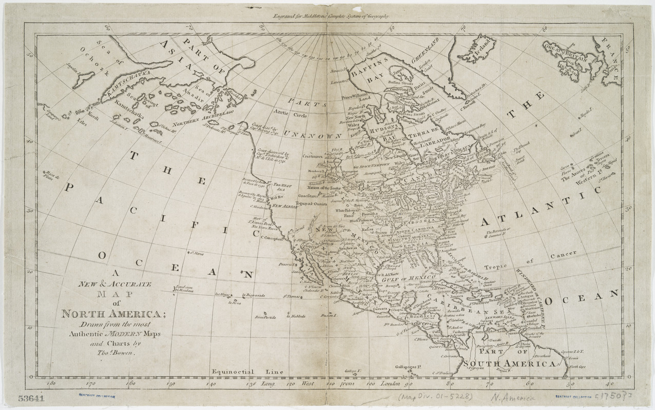
A new & accurate map of North America : drawn from the most authentic modern maps and charts
This map is also available in American Revolutionary Geographies Online (ARGO), a collections portal especially built for material relating to the American Revolutionary War Era. Visit ARGO to learn more about this item and explore the historical geography of North America in the late eighteenth century.
Item Information
- Title:
- A new & accurate map of North America : drawn from the most authentic modern maps and charts
- Title (alt.):
-
New and accurate map of North America
- Creator:
- Bowen, Thomas, -1790
- Name on Item:
-
by Thos. Bowen.
- Date:
-
[1778?]
- Format:
-
Maps/Atlases
- Location:
- New York Public Library
- Collection (local):
-
Maps of North America
- Subjects:
-
North America--Maps--Early works to 1800
- Places:
-
North America (area)
- Extent:
- 1 map ; 25 x 42 cm.
- Terms of Use:
-
No known copyright restrictions.
This work is licensed for use under a Creative Commons Attribution Non-Commercial Share Alike License (CC BY-NC-SA).

- Publisher:
-
London? :
Printed for J. Cooke?
- Scale:
-
Scale [ca. 1:40,000,000]
- Language:
-
English
- Catalog Record:
-
https://digitalcollections.nypl.org/items/510d47da-ee65-a3d9-e040-e00a18064a99
- Notes:
-
Engraved for Middletons Complete system of geography.
Probably from Charles Theodore Middleton's A new and complete system of geography.
Prime meridian: London.
Includes some historical notes.


