Toggle navigation
LMEC Home
Exhibitions
Georeferencing
Tools for Teachers
Collections
My Favorites
Sign Up / Log In
Search
Search the map portal
Map Collection
Map Collection
Map Sets
Search
Search
Search for
Search In
All Fields
Creator
Title
Subject
Place
Search All Digital Collections
Advanced Search
302 Results
My Search
Start Over
More Like
commonwealth:hq37vv88v
Remove constraint More Like: commonwealth:hq37vv88v
Filter your Search
Place
North and Central America
259
United States
230
New England
138
Maine
55
Massachusetts
37
New York
36
New Hampshire
32
Vermont
29
more
Place
»
Topic
New England--Maps
125
Maine--Maps
54
Railroads--New England--Maps
50
New Hampshire--Maps
31
Vermont--Maps
29
New York (State)--Maps
27
Massachusetts--Maps
23
New England--Maps--Early works to 1800
15
more
Topic
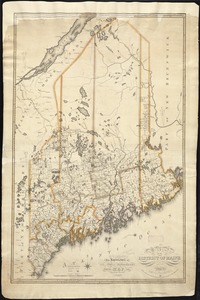
»
Date
Date range begin
–
Date range end
Current results range from
1482
to
2015
View distribution
Creator
United States. Post Office Dept
9
Carey, Mathew, 1760-1839
8
Carleton, Osgood, 1742-1816
8
Geological Survey (U.S.)
6
Doolittle, Amos, 1754-1832
5
National Publishing Company (Boston, Mass.)
5
Norman, John, 1748?-1817
5
Ortelius, Abraham, 1527-1598
5
more
Creator
»
Format
Maps/Atlases
302
Manuscripts
4
Books
1
Objects/Artifacts
1
Georeferenced
Yes
32
No
270
Collection
Norman B. Leventhal Map & Education Center Collection
166
Boston and New England Maps
126
Sidney R. Knafel Map Collection at Phillips Academy
87
American Revolutionary War-Era Maps
74
American Antiquarian Society Collection
25
William L. Clements Library Collection
15
MacLean Collection Map Library
6
David Judkins Weaver Papers
4
more
Collection
»
Available to use
No known restrictions
166
Creative Commons license
3
Search Constraints
Sort by relevance
relevance
title
date (asc)
date (desc)
Number of results to display per page
20 per page
10
per page
20
per page
50
per page
100
per page
View results as:
grid view
map view
Search Results
61.
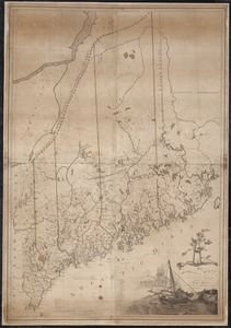
The district of Main from the latest surveys
62.
Fishing & hunting resorts of Maine, northern New Hampshire, and part of Canada and the provinces, Rangeley & Moosehead Lakes as...
63.
Lumberman's map of northern Maine
64.
Maine
65.
Maine
66.
A map & chart of the bays harbours post roads and settlements in Passamaquoddy & Machias with the large island of Grand Manan
67.
Map of Maine for the Maine register
68.
[Map of the area along the Saint Croix River in Maine and New Brunswick]
69.
Map of the disputed territory [Maine] : reduced from the original of Messrs. Featherstonehaugh & Mudge, British commissioners
70.
Map of the district of Maine from the latest and best authorities
71.
Map of the District of Maine Massachusetts : compiled from actual surveys made by order of the General Court, and under the...
72.
Map of the district of Maine, Massachusetts : compiled from actual surveys made by order of the General Court and under the...
73.
A map of the Maine coast from York Harbor to Saco Bay : reminiscent & actual
74.
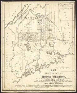
Map of the seat of war, showing disputed territory, and the boundary lines claimed by Maine & Great Britain and that proposed...
75.
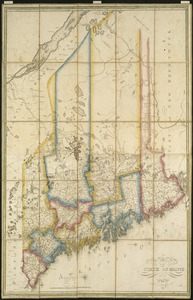
Map of the state of Maine : exhibiting the disputed territory in connexion with the adjacent British provinces of N. Brunswick...
76.
Map of the state of Maine
77.
A map of the state of Maine
78.
Map of the state of Maine with the province of New Brunswick
79.
The National Publishing Company's 1900 census map of Maine : showing all counties, towns, railroads, cities, villages, post...
80.
New commercial, sportsmen's and route survey of Maine : showing all postoffices, railroads, electric roads, principal highways,...
‹ Prev
Next ›
1
2
3
4
5
6
7
8
…
15
16


![[Map of the area along the Saint Croix River in Maine and New Brunswick]](https://bpldcassets.blob.core.windows.net/derivatives/images/commonwealth:6108vt00n/image_thumbnail_300.jpg)
![Map of the disputed territory [Maine]](https://bpldcassets.blob.core.windows.net/derivatives/images/commonwealth:7h14b025h/image_thumbnail_300.jpg)