Toggle navigation
LMEC Home
Exhibitions
Georeferencing
Tools for Teachers
Collections
My Favorites
Sign Up / Log In
Search
Search the map portal
Map Collection
Map Collection
Map Sets
Search
Search
Search for
Search In
All Fields
Creator
Title
Subject
Place
Search All Digital Collections
Advanced Search
143 Results
My Search
Start Over
More Like
commonwealth:h415tp499
Remove constraint More Like: commonwealth:h415tp499
Filter your Search
Place
North and Central America
128
United States
127
Massachusetts
52
Virginia
24
Boston
8
Confederate States of America
8
Suffolk (county)
8
Richmond
6
more
Place
»
Topic
United States--History--Civil War, 1861-1865--Maps
53
Massachusetts--Maps
18
Virginia--History--Civil War, 1861-1865--Maps
10
Confederate States of America--History--Maps
8
Land use--Massachusetts--Maps
7
Connecticut--Maps
6
Watersheds--Massachusetts--Maps
5
Boston Metropolitan Area (Mass.)--Maps
4
more
Topic
»
Date
Date range begin
–
Date range end
Current results range from
1860
to
2015
View distribution
Creator
MassGIS (Office : Mass.)
20
Massachusetts. Executive Office of Environmental Affairs
16
Michler, N. (Nathaniel), 1827-1881
14
Weyss, J. E.
13
New York Lithographing, Engraving and Printing Co.
12
Strasser, J.
12
Theilkuhl, F.
12
United States. Army. Corps of Engineers
11
more
Creator
»
Format
Maps/Atlases
140
Ephemera
2
Documents
1
Manuscripts
1
Posters
1
Georeferenced
Yes
5
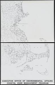
No
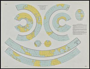
138
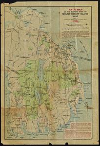
Collection
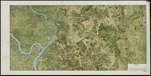
Norman B. Leventhal Map & Education Center Collection
143
David Judkins Weaver Papers
98
Boston and New England Maps
63
Urban Maps
7
Applied Geographics, Inc. Records
1
Available to use
No known restrictions
143
Search Constraints
Sort by relevance
relevance
title
date (asc)
date (desc)
Number of results to display per page
20 per page
10
per page
20
per page
50
per page
100
per page
View results as:
grid view
map view
Search Results
101.
Massachusetts river basins
102.
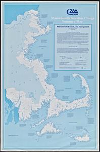
Massachusetts shoreline change summary map
103.
Massachusetts water resources study
104.
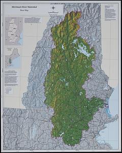
Merrimack River watershed atlas
105.
Metacomet-Monadnock Trail : an analysis of landuse
106.
New England fishery, recreation and scenic resources
107.
New England regional transportation map = Mapa do transporte regional da Nova Inglaterra = Nueva Inglaterra, mapa regional de...
108.
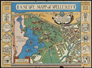
A newe mapp of Wellesley
109.
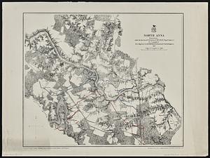
North Anna
110.
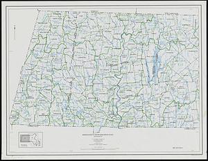
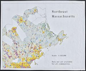
Northeast Massachusetts
111.
Open space map of Connecticut, lands dedicated as open space, and selected undeveloped land, lands managed but not dedicated as...
112.
Orthophoto map of Boston, Lynn Common
113.
Outline map of 17th-century Boston drawn on an outline map of modern Boston
114.
Outline map of towns on the Massachusetts coast
115.
Outline maps for the construction of a model of the world, based on the Lambert conformal conic projection
116.
Path map of the eastern part of Mount Desert Island, Maine
117.
Pictomap
118.
Printer test page
119.
Properties of the Trustees of Reservations and other protected open space
120.
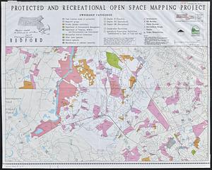
Protected and recreational open space mapping project : Bedford
‹ Prev
Next ›
1
2
3
4
5
6
7
8