Toggle navigation
LMEC Home
Exhibitions
Georeferencing
Tools for Teachers
Collections
My Favorites
Sign Up / Log In
Search
Search the map portal
Map Collection
Map Collection
Map Sets
Search
Search
Search for
Search In
All Fields
Creator
Title
Subject
Place
Search All Digital Collections
Advanced Search
8769 Results
My Search
Start Over
More Like
commonwealth:cj82m2577
Remove constraint More Like: commonwealth:cj82m2577
Filter your Search
Place
North and Central America
5,997
United States
4,917
Massachusetts
2,083
Europe
1,396
Suffolk (county)
1,048
Boston
1,021
Canada
470
Asia
438
more
Place
»
Topic
Boston (Mass.)--Maps
588
United States--Maps
330
Real property--Massachusetts--Boston--Maps
175
Massachusetts--Maps
164
Landowners--Massachusetts--Boston--Maps
133
New England--Maps
127
North America--Maps--Early works to 1800
103
Europe--Maps
79
more
Topic
»
Date
Date range begin
–
Date range end
Current results range from
1482
to
2023
View distribution
Creator
United States. Hydrographic Office
595
O.H. Bailey & Co
148
Des Barres, Joseph F. W. (Joseph Frederick Wallet), 1722-1824
123
United States. Post Office Dept
120
Ptolemy, 2nd cent
100
Walling, Henry Francis, 1825-1888
94
Geological Survey (U.S.)
87
Jefferys, Thomas, -1771
86
more
Creator
»
Format
Maps/Atlases
8,709
Manuscripts
215
Prints
56
Books
36
Objects/Artifacts
10
Drawings/Illustrations
8
Posters
5
Georeferenced
Yes
873
No
7,896
Collection
Norman B. Leventhal Map & Education Center Collection
8,704
Boston and New England Maps
2,239
Urban Maps
2,023
Maritime Charts and Atlases
1,083
American Revolutionary War-Era Maps
674
Boston Redevelopment Authority Collection
87
Maps from AAS
29
William L. Clements Library Collection
16
more
Collection
»
Available to use
No known restrictions
8,560
Creative Commons license
53
Search Constraints
Sort by relevance
relevance
title
date (asc)
date (desc)
Number of results to display per page
20 per page
10
per page
20
per page
50
per page
100
per page
View results as:
grid view
map view
Search Results
4701.
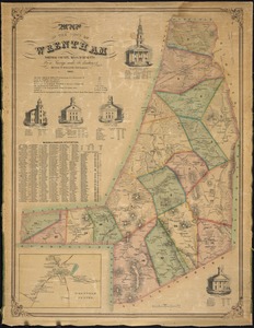
Map of the town of Wrentham : Norfolk County, Massachusetts
4702.
A map of the towns of Dorchester and Milton, 1831
4703.
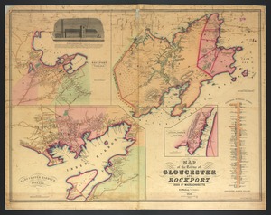
Map of the towns of Gloucester and Rockport, Essex Co., Massachusetts
4704.
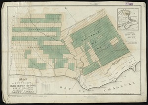
Map of the townships of Hamilton & Cox, Bay of Chaleurs, District of Caspé, Lower Canada
4705.
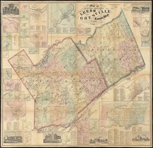
Map of the United Counties of Leeds and Grenville, Canada West
4706.
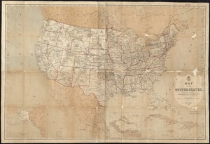
Map of the United States
4707.
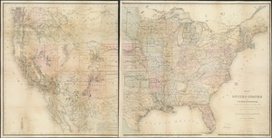
Map of the United States and territories, showing the extent of public surveys and other details
4708.
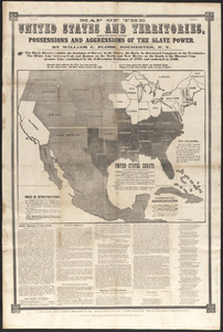
Map of the United States and territories, showing the possessions and aggressions of the slave power
4709.
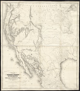
Map of the United States and their territories between the Mississippi and the Pacific Ocean; and part of Mexico
4710.
Map of the United States exhibiting the post-roads, the situations, connections & distances of the post-offices, stage roads,...
4711.
Map of the United States in North America : with the British, French and Spanish dominions adjoining, according to the treaty...
4712.
Map of the United States of America, the British provinces, Mexico, the West Indies and Central America, with part of New...
4713.
Map of the United States, Territory of Oregon, west of the Rocky Mountains, exhibiting the various trading depots or forts...
4714.
Map of the Valley of Mexico with a plan of the defences of the capital and the line of operations of the United States Army...
4715.
Map of the Vermont Central Rail Road and its connections, forming the Great Northern Route from the Atlantic to Montreal and...
4716.
Map of the vicinity of Boston
4717.
Map of the vicinity of Kansas City : including fifteen miles around
4718.
Map of the vicinity of Yorktown, Virginia, 1881
4719.
Map of the village of Claremont, New Hampshire
4720.
Map of the village of Concord, Merrimack County, N.H
‹ Prev
Next ›
1
2
…
232
233
234
235
236
237
238
239
240
…
438
439