Toggle navigation
LMEC Home
Exhibitions
Georeferencing
Tools for Teachers
Collections
My Favorites
Sign Up / Log In
Search
Search the map portal
Map Collection
Map Collection
Map Sets
Search
Search
Search for
Search In
All Fields
Creator
Title
Subject
Place
Search All Digital Collections
Advanced Search
8612 Results
My Search
Start Over
More Like
commonwealth:cj82m2267
Remove constraint More Like: commonwealth:cj82m2267
Filter your Search
Place
North and Central America
5,907
United States
4,815
Massachusetts
2,111
Europe
1,359
Suffolk (county)
1,035
Boston
1,008
Canada
448
Asia
422
more
Place
»
Topic
Boston (Mass.)--Maps
580
United States--Maps
273
Massachusetts--Maps
218
Real property--Massachusetts--Boston--Maps
174
Landowners--Massachusetts--Boston--Maps
132
North America--Maps--Early works to 1800
103
New England--Maps
101
Europe--Maps
78
more
Topic
»
Date
Date range begin
–
Date range end
Current results range from
1482
to
2023
View distribution
Creator
United States. Hydrographic Office
594
O.H. Bailey & Co
148
Des Barres, Joseph F. W. (Joseph Frederick Wallet), 1722-1824
123
United States. Post Office Dept
120
Ptolemy, 2nd cent
100
Walling, Henry Francis, 1825-1888
95
Geological Survey (U.S.)
92
Jefferys, Thomas, -1771
85
more
Creator
»
Format
Maps/Atlases
8,552
Manuscripts
217
Prints
56
Books
36
Objects/Artifacts
10
Drawings/Illustrations
8
Posters
4
Ephemera
1
Georeferenced
Yes
880
No
7,732
Collection
Norman B. Leventhal Map & Education Center Collection
8,580
Boston and New England Maps
2,238
Urban Maps
1,937
Maritime Charts and Atlases
1,080
American Revolutionary War-Era Maps
634
Boston Redevelopment Authority Collection
90
David Judkins Weaver Papers
19
Sidney R. Knafel Map Collection at Phillips Academy
10
more
Collection
»
Available to use
No known restrictions
8,439
Creative Commons license
50
Search Constraints
Sort by relevance
relevance
title
date (asc)
date (desc)
Number of results to display per page
20 per page
10
per page
20
per page
50
per page
100
per page
View results as:
grid view
map view
Search Results
3121.
J.H. Colton's Topographical map of seat of war in Virginia, Maryland, &c
3122.
J.M.E. Riedel's new street number guide map of Fort Wayne
3123.
John Hancock office and parking garage complex, Boston, Massachusetts
3124.
Johnson's Colorado ; Johnson's Indian Territory
3125.
Johnson's map of New York and the adjacent cities
3126.
Johnson's new illustrated family atlas of the world, with physical geography, and with descriptions geographical, statistical,...
3127.
Johnson's new rail road & county copper plate map of the Southern States from the latest and best information
3128.
Johnson's North America
3129.
Johnson's Virginia, Delaware, Maryland & West Virginia
3130.
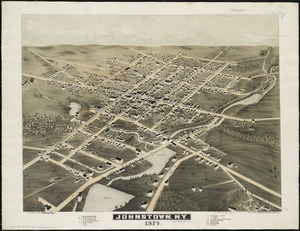
Johnstown, N.Y : 1874
3131.
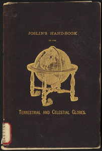
Joslin's hand-book to the terrestrial and celestial globes : how to use a globe
3132.
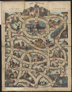
The journey, or, cross roads to conqueror's castle : a new and interesting game
3133.
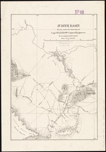
Judith Basin
3134.
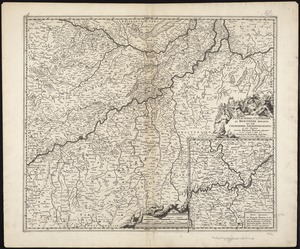
Juliacensis, Cliviensis, et Montensis Ducatus, nec non Coloniensis Archiepiscopatus, et alie regiones proxime Rhenum Fluvium...
3135.
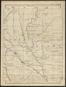
Juneau & Adams Counties, Wis.
3136.
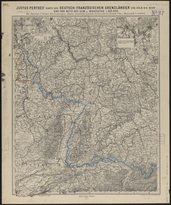
Justus Perthes' karte der Deutsch-Französischen grenzländer von Köln bis Bern und von Metz bis Ulm : mit special-cartons der...
3137.
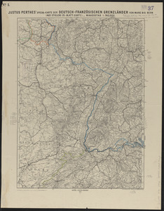
Justus Perthes' special-karte der Deutsch-Französischen Grenzländer von Mainz bis Bern : (aus Stielers 25-blatt-karte)
3138.
Justus Perthes' specialkarte der Deutsch-Französischen Grenzländer von Mainz bis zur Nordsee : (aus Stielers 25-blatt-karte)
3139.
Justus Perthes' specialkarte der norddeutschen küstenländer von der I. Rügen bis Königsberg : (aus Stielers 25-blatt-karte)
3140.
Justus Perthes' specialkarte der norddeutschen küstenländer von Emden & Borkum bis zur insel Rügen : (aus Stielers...
‹ Prev
Next ›
1
2
…
153
154
155
156
157
158
159
160
161
…
430
431


![Johnson's new illustrated family atlas of the world, with physical geography, and with descriptions geographical, statistical, and historical, including the latest federal census, and the existing religious denominations in the world [frontispiece]](https://bpldcassets.blob.core.windows.net/derivatives/images/commonwealth:0r96fp61c/image_thumbnail_300.jpg)