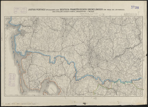
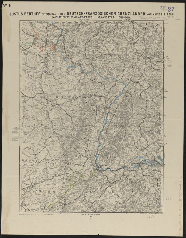
Justus Perthes' special-karte der Deutsch-Französischen Grenzländer von Mainz bis Bern : (aus Stielers 25-blatt-karte)
Item Information
- Title:
- Justus Perthes' special-karte der Deutsch-Französischen Grenzländer von Mainz bis Bern : (aus Stielers 25-blatt-karte)
- Cartographer:
- Petermann, A. (August), 1822-1878
- Printer:
- Hellfarth, C.
- Publisher:
- Justus Perthes (Firm : Gotha, Germany)
- Name on Item:
-
A. Petermann red.
- Date:
-
1870
- Format:
-
Maps/Atlases
- Location:
-
Boston Public Library
Norman B. Leventhal Map & Education Center - Collection (local):
-
Norman B. Leventhal Map & Education Center Collection
- Subjects:
-
Franco-Prussian War, 1870-1871--Maps
Germany--Maps
Benelux countries--Maps
- Places:
-
Germany
Low Countries (area)
- Extent:
- 1 map : color ; 48 x 36 cm
- Terms of Use:
-
No known copyright restrictions.
No known restrictions on use.
- Publisher:
-
Gotha :
Justus Perthes
- Scale:
-
Scale 1:740,000
- Language:
-
German
- Notes:
-
Relief shown by hachures.
In upper left corner: no. 4.
- Identifier:
-
06_01_014075
- Call #:
-
G6080 1870 .J872
- Barcode:
-
39999065699702