Toggle navigation
LMEC Home
Exhibitions
Georeferencing
Tools for Teachers
Collections
My Favorites
Sign Up / Log In
Search
Search the map portal
Map Collection
Map Collection
Map Sets
Search
Search
Search for
Search In
All Fields
Creator
Title
Subject
Place
Search All Digital Collections
Advanced Search
194 Results
My Search
Start Over
More Like
commonwealth:bk12fb804
Remove constraint More Like: commonwealth:bk12fb804
Filter your Search
Place
North and Central America
183
United States
170
Massachusetts
109
Maine
53
Middlesex (county)
17
Bristol (county)
9
Canada
8
Plymouth (county)
8
more
Place
»
Topic
Maine--Maps
53
Massachusetts--Maps
19
New Hampshire--Maps
7
Railroads--Maine--Maps
5
Vermont--Maps
5
Canada--Boundaries--United States--Maps
4
Counties--Maine--Maps
4
Dedham (Mass.)--Maps
4
more
Topic
»
Date
Date range begin
–
Date range end
Current results range from
1754
to
2010
View distribution
Creator
Applied Geographics, Inc.
61
MassGIS (Office : Mass.)
56
Massachusetts. Executive Office of Environmental Affairs
32
Geological Survey (U.S.)
10
Massachusetts Bays Program
8
Massachusetts Coastal Zone Management Office
8
Carleton, Osgood, 1742-1816
7
National Ocean Survey
6
more
Creator
»
Format
Maps/Atlases
193
Manuscripts
3
Ephemera
1
Objects/Artifacts
1
Georeferenced
Yes
3
No
191
Collection
Norman B. Leventhal Map & Education Center Collection
176
Applied Geographics, Inc. Records
143
Boston and New England Maps
143
Urban Maps
28
Maritime Charts and Atlases
17
American Revolutionary War-Era Maps
16
American Antiquarian Society Collection
8
William L. Clements Library Collection
6
more
Collection
»
Available to use
No known restrictions
176
Creative Commons license
1
Search Constraints
Sort by relevance
relevance
title
date (asc)
date (desc)
Number of results to display per page
20 per page
10
per page
20
per page
50
per page
100
per page
View results as:
grid view
map view
Search Results
41.
Province of Maine
42.
The province of Maine, from the best authorities
43.
The Province of Maine, from the best authorities 1795
44.
Rand McNally official 1924 auto trails map Maine ; Rand McNally official 1924 auto trails map New Hampshire, Vermont
45.
Route and pictorial map of Maine
46.
Sketch of different passes into Canada from our lower provinces
47.
State of Maine
48.
State of Maine
49.
State of Maine
50.
This plan of Kennebeck & Sagadahock Rivers & country adjacent
51.
This plan represents par of the Bay of Passamoquoddy : the rivers Scoodic and Passamaquoddy which empty into said bay being an...
52.
This plan represents within the red lines twenty two townships of land situate between the million acres located on the River...
53.
Topographical map of the province of New Hampshire, including Montresor's survey of the St. Lawrence and the Kennebec route to...
54.
1985 land use in the Mass. Turnpike corridor
55.
Agriculture and wellhead protection in the Connecticut Valley
56.
Appalachian region, as designated by the Appalachian Regional Commission 1967
57.
The Appalachian trail in Massachusetts
58.
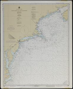
Atlantic coast, Cape Sable to Cape Hatteras
59.
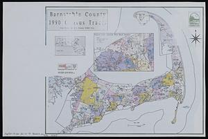
Barnstable County 1990 census tracts
60.
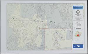
Boxborough, Middlesex County, Mass map 06
‹ Prev
Next ›
1
2
3
4
5
6
7
…
9
10