Search Constraints
Search Results

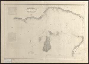
![[North east coast of Nova Scotia and Northumberland Strait]](https://bpldcassets.blob.core.windows.net/derivatives/images/commonwealth:ws859h21d/image_thumbnail_300.jpg)
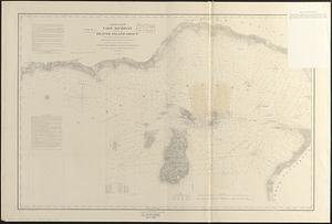
![[North east coast of Nova Scotia and Northumberland Strait]](https://bpldcassets.blob.core.windows.net/derivatives/images/commonwealth:ws859h23z/image_thumbnail_300.jpg)

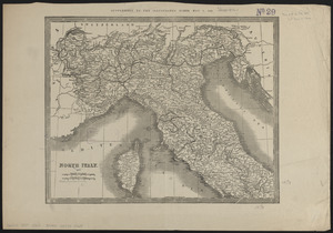
5849. North Italy
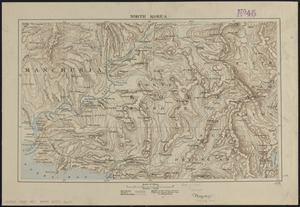
5850. North Korea
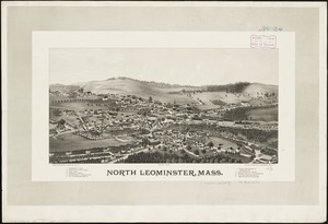
5851. North Leominster, Mass
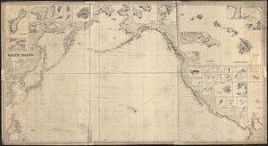
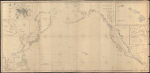
5852. North Pacific
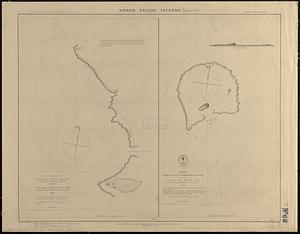
5853. North Pacific islands

5854. North Pacific Islands
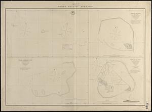
5855. North Pacific islands
5856. North Pacific Ocean