Toggle navigation
LMEC Home
Exhibitions
Georeferencing
Tools for Teachers
Collections
My Favorites
Sign Up / Log In
Search
Search the map portal
Map Collection
Map Collection
Map Sets
Search
Search
Search for
Search In
All Fields
Creator
Title
Subject
Place
Search All Digital Collections
Advanced Search
8195 Results
My Search
Start Over
More Like
commonwealth:9s1619171
Remove constraint More Like: commonwealth:9s1619171
Filter your Search
Place
North and Central America
4,944
United States
3,776
Suffolk (county)
1,058
Boston
1,031
Europe
963
Canada
427
Massachusetts
325
France
269
more
Place
»
Topic
Boston (Mass.)--Maps
576
United States--Maps
270
Real property--Massachusetts--Boston--Maps
176
Massachusetts--Maps
160
Landowners--Massachusetts--Boston--Maps
133
North America--Maps--Early works to 1800
103
New England--Maps
99
City planning--Massachusetts--Boston--Maps
89
more
Topic
»
Date
Date range begin
–
Date range end
Current results range from
1482
to
2023
View distribution
Creator
United States. Hydrographic Office
357
O.H. Bailey & Co
148
Des Barres, Joseph F. W. (Joseph Frederick Wallet), 1722-1824
123
United States. Post Office Dept
120
Ptolemy, 2nd cent
100
Walling, Henry Francis, 1825-1888
94
Boston Redevelopment Authority
93
Jefferys, Thomas, -1771
84
more
Creator
»
Format
Maps/Atlases
8,135
Manuscripts
215
Prints
51
Books
36
Objects/Artifacts
10
Drawings/Illustrations
9
Posters
4
Georeferenced
Yes
870
No
7,325
Collection
Norman B. Leventhal Map Center Collection
8,165
Boston and New England Maps
2,212
Urban Maps
1,952
Maritime Charts and Atlases
750
American Revolutionary War-Era Maps
620
Boston Redevelopment Authority Collection
112
William L. Clements Library Collection
3
Mapping Boston Collection
2
more
Collection
»
Available to use
No known restrictions
8,048
Creative Commons license
48
Search Constraints
Sort by relevance
relevance
title
date (asc)
date (desc)
Number of results to display per page
20 per page
10
per page
20
per page
50
per page
100
per page
View results as:
grid view
map view
Search Results
61.
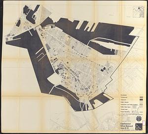
Charlestown urban renewal area r-55 : treatment areas
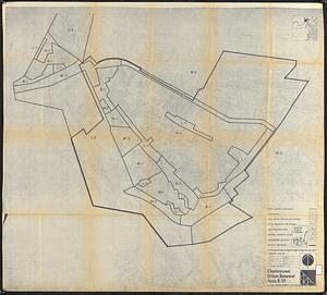
62.
Charlestown urban renewal area r-55 : existing land use
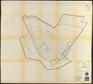
63.
Charlestown urban renewal area r-55 : existing zoning
64.
Charlestown urban renewal area r-55 : proposed zoning
65.
Charlestown urban renewal area r-55 : building deficiencies
66.
Disposition parcels, Charlestown urban renewal area, Massachusetts R-55
67.
Map of Boston naval shipyard, Boston, Mass. showing conditions on Jan. 1, 1966
68.
Plan of the town of Boston with the attack on Bunkers-Hill in the peninsula of Charlestown the 17th of June 1775
69.
Sketch of the action on the heights of Charlestown, June 17th, 1775, between His Majesty's troops, under the command, of Major...
70.
A survey of the peninsula of Charles Town shewing the three posts now garrison'd by his majesty's troops for the winter : 10th...
71.
The 100th anniversary map of Abraham Lincoln's visit to Massachusetts, September 11-23, 1848
72.
1630 shoreline
73.
1879. Progress map of the U.S. Geographical Surveys west of the 100th Meridian : prepared under the direction of 1st Lieut....
74.
1903 Map of Salem and surrounding places
75.
19th annual convention of the National Association of Real Estate Boards : at Tulsa, June 7 to June 11 in 1926
76.
2005 significant U.S. hurricane strikes
77.
The 2100 project : an atlas for the Green New Deal
78.
227 Harzgerode
79.
305 Glatz
80.
38,000,000 escaped -- 10,000,000 died
‹ Prev
Next ›
1
2
3
4
5
6
7
8
…
409
410