Toggle navigation
LMEC Home
Exhibitions
Georeferencing
Tools for Teachers
Collections
My Favorites
Sign Up / Log In
Search
Search the map portal
Map Collection
Map Collection
Map Sets
Search
Search
Search for
Search In
All Fields
Creator
Title
Subject
Place
Search All Digital Collections
Advanced Search
528 Results
My Search
Start Over
More Like
commonwealth:7h14cw448
Remove constraint More Like: commonwealth:7h14cw448
Filter your Search
Place
North and Central America
525
United States
522
Suffolk (county)
515
Boston
514
Massachusetts
215
Roxbury
54
Fens
51
South End
49
more
Place
»
Topic
City planning--Massachusetts--Boston--Maps
418
Urban renewal--Massachusetts--Boston--Maps
253
Boston (Mass.)--Maps
168
Land use--Massachusetts--Boston--Maps
101
Buildings--Massachusetts--Boston--Maps
81
Real property--Massachusetts--Boston--Maps
56
Fenway (Boston, Mass.)--Maps
55
Roxbury (Boston, Mass.)--Maps
50
more
Topic
»
Date
Date range begin
–
Date range end
Current results range from
1835
to
2020
View distribution
Creator
Boston Redevelopment Authority
369
Massachusetts Bay Transportation Authority
12
Downtown Waterfront Corporation
10
Victor Gruen Associates
10
Boston (Mass.). Parks and Recreation Department
8
Boston Elevated Railway Company
8
General Drafting Company
8
Lufkin, Richard F. (Richard Friend)
8
more
Creator
»
Format
Maps/Atlases
527
Drawings/Illustrations
3
Manuscripts
1
Prints
1
Georeferenced
Yes
7
No
521
Collection
Boston and New England Maps
485
Urban Maps
468
Boston Redevelopment Authority Collection
442
Norman B. Leventhal Map & Education Center Collection
142
Available to use
No known restrictions
526
Creative Commons license
1
Search Constraints
Sort by relevance
relevance
title
date (asc)
date (desc)
Number of results to display per page
20 per page
10
per page
20
per page
50
per page
100
per page
View results as:
grid view
map view
Search Results
41.
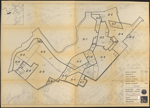
Fenway urban renewal area Massachusetts : existing and proposed zoning
42.
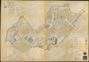
Fenway urban renewal area Massachusetts : existing land use
43.
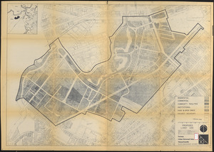
Fenway urban renewal area Massachusetts : proposed land use
44.
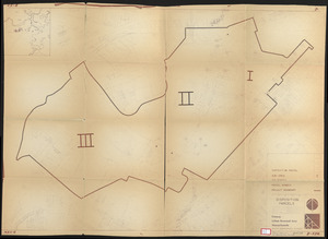
Fenway urban renewal area Massachusetts : disposition parcels
45.
FPIR/FEIR Olmsted Plaza : a redevelopment of the Sears property, 309 Park Drive/201 Brookline Avenue in the Fenway
46.
Back Bay Fens master plan
47.
Back Bay park
48.
Boylston Street : Fenway to Massachusetts Avenue
49.
Plan of region west of Back Bay Park, Boston, Mass. : proposed improvements
50.
Proposed improvement of Back Bay
51.
The Riverway master plan
52.
Rose garden in Fens-Back Bay
53.
Sears Park conceptual site plan with historic waterway
54.
Boston elevated railway system
55.
Map of Boston and vicinity showing tracks operated by the Boston Elevated Railway Co., surface lines
56.
Map showing horse rail roads and the surface steam roads with 104 stations in and around Boston : including 91 surface steam...
57.
Proposed street railroad over the Back Bay to Brookline
58.
Rail road map : showing the street rail road routes in and leading from Boston, with the terminus of each road in suburban...
59.
Railroad map of all street and steam railroads in Boston and vicinity
60.
Wastewater system map, Boston proper, sheet no. 21h
‹ Prev
Next ›
1
2
3
4
5
6
7
…
26
27