Toggle navigation
LMEC Home
Exhibitions
Georeferencing
Tools for Teachers
Collections
My Favorites
Sign Up / Log In
Search
Search the map portal
Map Collection
Map Collection
Map Sets
Search
Search
Search for
Search In
All Fields
Creator
Title
Subject
Place
Search All Digital Collections
Advanced Search
8942 Results
My Search
Start Over
More Like
commonwealth:7h149x05f
Remove constraint More Like: commonwealth:7h149x05f
Filter your Search
Place
North and Central America
6,170
United States
5,088
Massachusetts
2,134
Europe
1,396
Suffolk (county)
1,207
Boston
1,180
Canada
464
Asia
438
more
Place
»
Topic
Boston (Mass.)--Maps
752
United States--Maps
330
Real property--Massachusetts--Boston--Maps
195
Massachusetts--Maps
166
City planning--Massachusetts--Boston--Maps
157
Landowners--Massachusetts--Boston--Maps
142
New England--Maps
104
North America--Maps--Early works to 1800
103
more
Topic
»
Date
Date range begin
–
Date range end
Current results range from
1482
to
2023
View distribution
Creator
United States. Hydrographic Office
595
Boston Redevelopment Authority
162
O.H. Bailey & Co
148
Des Barres, Joseph F. W. (Joseph Frederick Wallet), 1722-1824
124
United States. Post Office Dept
120
Ptolemy, 2nd cent
100
Walling, Henry Francis, 1825-1888
94
Geological Survey (U.S.)
88
more
Creator
»
Format
Maps/Atlases
8,882
Manuscripts
218
Prints
56
Books
36
Objects/Artifacts
10
Drawings/Illustrations
8
Posters
5
Georeferenced
Yes
887
No
8,055
Collection
Norman B. Leventhal Map & Education Center Collection
8,729
Boston and New England Maps
2,358
Urban Maps
2,143
Maritime Charts and Atlases
1,084
American Revolutionary War-Era Maps
707
Boston Redevelopment Authority Collection
191
William L. Clements Library Collection
43
Maps from AAS
33
more
Collection
»
Available to use
No known restrictions
8,670
Creative Commons license
76
Search Constraints
Sort by relevance
relevance
title
date (asc)
date (desc)
Number of results to display per page
20 per page
10
per page
20
per page
50
per page
100
per page
View results as:
grid view
map view
Search Results
6281.
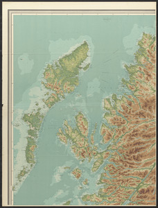
Orographical map of Scotland
6282.
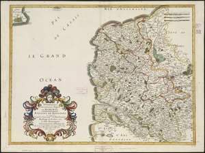
Oromansaci, et Gesoriacus Pagus in Morinis : evesché de Boulogne ou sont les Comté et seneschaussée de Boulenois : Balliage...
6283.
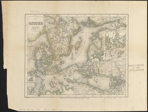
Die Ostsee
6284.
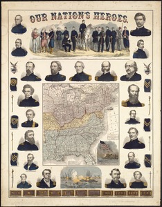
Our Nation's Heroes
6285.
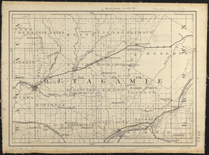
Outagamie County, Wis.
6286.
Outline key to Richardson's view of the environs of Boston from Corey's Hill, Brookline
6287.
Outline map and view of the Prudential Center area
6288.
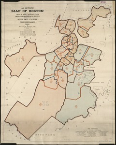
An outline map of Boston showing the old & new ward lines, also the old congressional lines
6289.
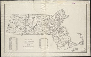
Outline map of Massachusetts showing boundaries of towns and counties in tidal water
6290.
Outline map of Massachusetts showing legal voters according to Massachusetts census of 1895 : prepared for the Joint Special...
6291.
Outline map of Massachusetts showing population according to the United States census of 1890
6292.
Outline map of Massachusetts showing population according to the United States census of 1890, and Congressional Districts
6293.
Outline map of Massachusetts showing population according to United States Census of 1890, and Congressional districts
6294.
Outline map of Massachusetts showing senatorial districts as established by the General Court of 1906 with legal voters...
6295.
Outline map of Puerto Rico
6296.
Outline map of the great northern route from Boston and New York to the Mississippi
6297.
Outline map of the lands known as Oklahoma, Indian Ter. opened to settlement by Executive Order March 23, 1889
6298.
Outline map of the various Boston metropolitan districts
6299.
Overzichtskaart van den Nederlandsch-Indischen archipel
6300.
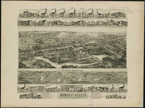
Oxford, Massachusetts : 1891
‹ Prev
Next ›
1
2
…
311
312
313
314
315
316
317
318
319
…
447
448