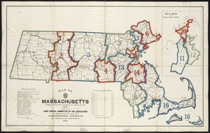
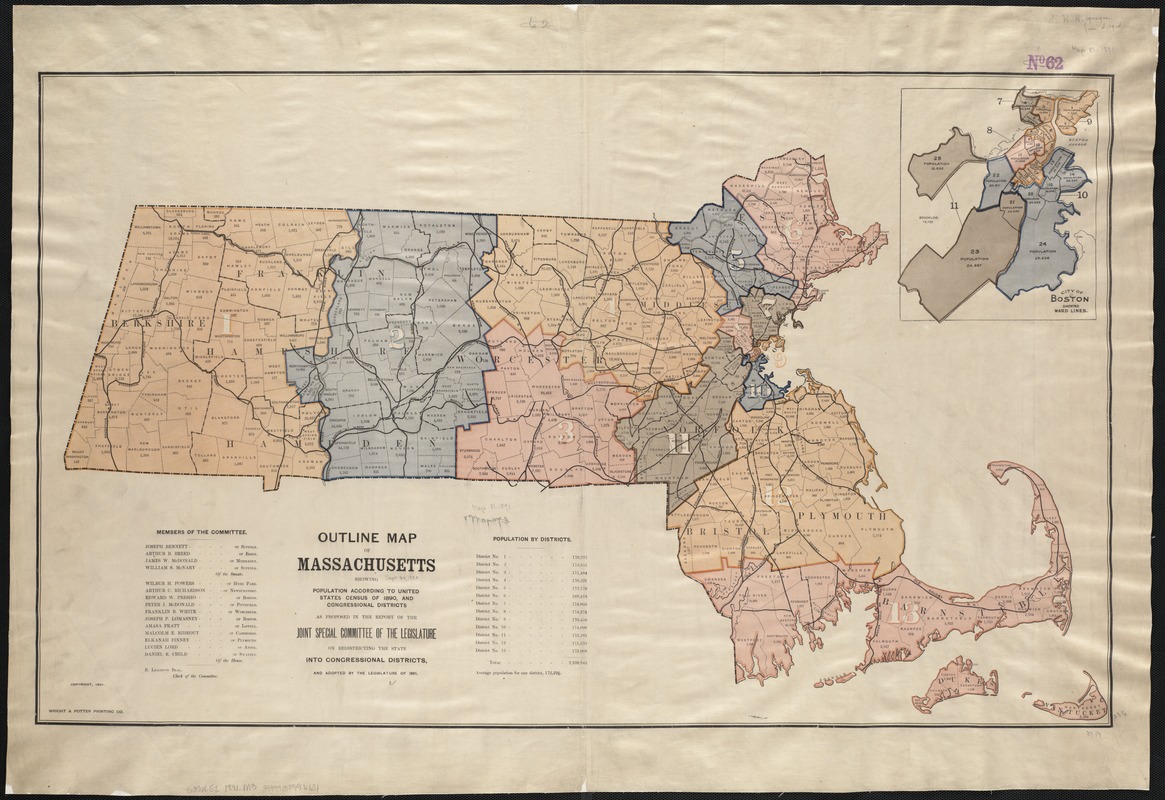
Outline map of Massachusetts showing population according to the United States census of 1890, and Congressional Districts
Item Information
- Title:
- Outline map of Massachusetts showing population according to the United States census of 1890, and Congressional Districts
- Creator:
- Massachusetts. General Court. Joint Special Committee on Congressional Redistricting, 1891
- Name on Item:
-
as proposed in the report of the Joint Special Committee of the Legislature on Redistricting the State for Congressional Districts, and adopted by the Legislature of 1891.
- Date:
-
1891
- Format:
-
Maps/Atlases
- Location:
-
Boston Public Library
Norman B. Leventhal Map & Education Center - Collection (local):
-
Norman B. Leventhal Map & Education Center Collection
- Subjects:
-
United States. Congress--Election districts--Massachusetts--Maps
Massachusetts--Maps
Massachusetts--Population--Maps
- Places:
-
Massachusetts
- Extent:
- 1 map : col. ; 59 x 97 cm.
- Terms of Use:
-
No known copyright restrictions.
No known restrictions on use.
- Publisher:
-
S.l :
[s.n.]
- Scale:
-
Scale not given.
- Language:
-
English
- Notes:
-
Shows town and county outlines.
Inset: "City of Boston showing ward lines."
Includes list of members of the Committee and table of population by districts.
- Identifier:
-
06_01_003694
- Call #:
-
G3761.E2 1890.2 .M37
- Barcode:
-
39999058996131