Toggle navigation
LMEC Home
Exhibitions
Georeferencing
Tools for Teachers
Collections
My Favorites
Sign Up / Log In
Search
Search the map portal
Map Collection
Map Collection
Map Sets
Search
Search
Search for
Search In
All Fields
Creator
Title
Subject
Place
Search All Digital Collections
Advanced Search
8942 Results
My Search
Start Over
More Like
commonwealth:7h149x05f
Remove constraint More Like: commonwealth:7h149x05f
Filter your Search
Place
North and Central America
6,170
United States
5,088
Massachusetts
2,134
Europe
1,396
Suffolk (county)
1,207
Boston
1,180
Canada
464
Asia
438
more
Place
»
Topic
Boston (Mass.)--Maps
752
United States--Maps
330
Real property--Massachusetts--Boston--Maps
195
Massachusetts--Maps
166
City planning--Massachusetts--Boston--Maps
157
Landowners--Massachusetts--Boston--Maps
142
New England--Maps
104
North America--Maps--Early works to 1800
103
more
Topic
»
Date
Date range begin
–
Date range end
Current results range from
1482
to
2023
View distribution
Creator
United States. Hydrographic Office
595
Boston Redevelopment Authority
162
O.H. Bailey & Co
148
Des Barres, Joseph F. W. (Joseph Frederick Wallet), 1722-1824
124
United States. Post Office Dept
120
Ptolemy, 2nd cent
100
Walling, Henry Francis, 1825-1888
94
Geological Survey (U.S.)
88
more
Creator
»
Format
Maps/Atlases
8,882
Manuscripts
218
Prints
56
Books
36
Objects/Artifacts
10
Drawings/Illustrations
8
Posters
5
Georeferenced
Yes
887
No
8,055
Collection
Norman B. Leventhal Map & Education Center Collection
8,729
Boston and New England Maps
2,358
Urban Maps
2,143
Maritime Charts and Atlases
1,084
American Revolutionary War-Era Maps
707
Boston Redevelopment Authority Collection
191
William L. Clements Library Collection
43
Maps from AAS
33
more
Collection
»
Available to use
No known restrictions
8,670
Creative Commons license
76
Search Constraints
Sort by relevance
relevance
title
date (asc)
date (desc)
Number of results to display per page
20 per page
10
per page
20
per page
50
per page
100
per page
View results as:
grid view
map view
Search Results
5661.
A new and improved chart of the West India or Carribbee [sic] Islands
5662.
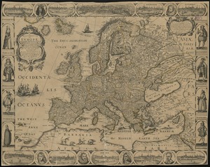
A new and most exact map of Europe described by N.I. Visscher and don into English and corrected according to I Bleau and...
5663.
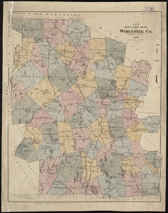
New bicycle & driving road map of Worcester Co., Massachusetts
5664.
New Brunswick, Nova Scotia, Newfoundland, and Prince Edward Id.
5665.
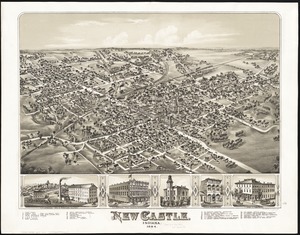
New Castle, Indiana : 1884
5666.
New chart of Boston Harbor
5667.
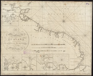
A new chart of Guyana with the colonies of Cayenne, Surinam, & Trinadad
5668.
A new chart of Massachusetts Bay drawn from the latest authorities
5669.
A new chart of Nantucket Shoals & George's Bank with the adjacent coast
5670.
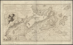
A new chart of the Atlantic or Western Ocean
5671.
A new chart of the Azores or Western Isles
5672.
A new chart of the Bahama Islands and the Windward Passage
5673.
A new chart of the Cape Verd Islands, from the latest authorities
5674.
A new chart of the coast of America from Boston to Savannah with plans on an enlarged scale, of the principal harbours :...
5675.
A new chart of the coast of New England, Nova Scotia, and the islands of St. Iohn, Cape Breton, Sable, the banks of St. Peters,...
5676.
A new chart of the coast of New England, Nova Scotia, New France or Canada, with the islands of Newfoundld. Cape Breton St....
5677.
A new chart of the Gulf of Florida and Bahama Banks also the Bahama Islands taken from a new chart published in Cadiz from a...
5678.
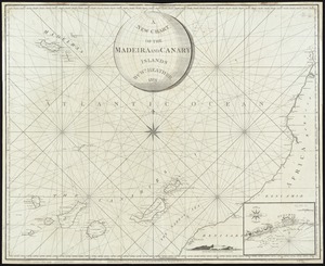
A New Chart of the Madeira and Canary Islands
5679.
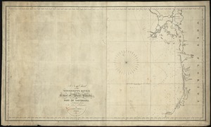
A new chart of the Mississippi River, the coast of west Florida, and part of Louisiana
5680.
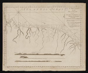
A new chart of the sea coast from the island of Cyenne to the river Poumaron comprehending Surinam Berbice Demerary & Essequebo...
‹ Prev
Next ›
1
2
…
280
281
282
283
284
285
286
287
288
…
447
448
![A new and improved chart of the West India or Carribbee [sic] Islands](https://bpldcassets.blob.core.windows.net/derivatives/images/commonwealth:kk91fq95z/image_thumbnail_300.jpg)