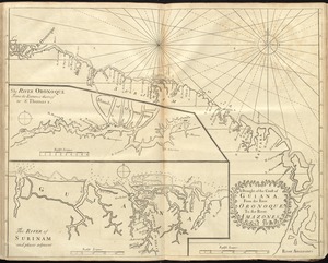
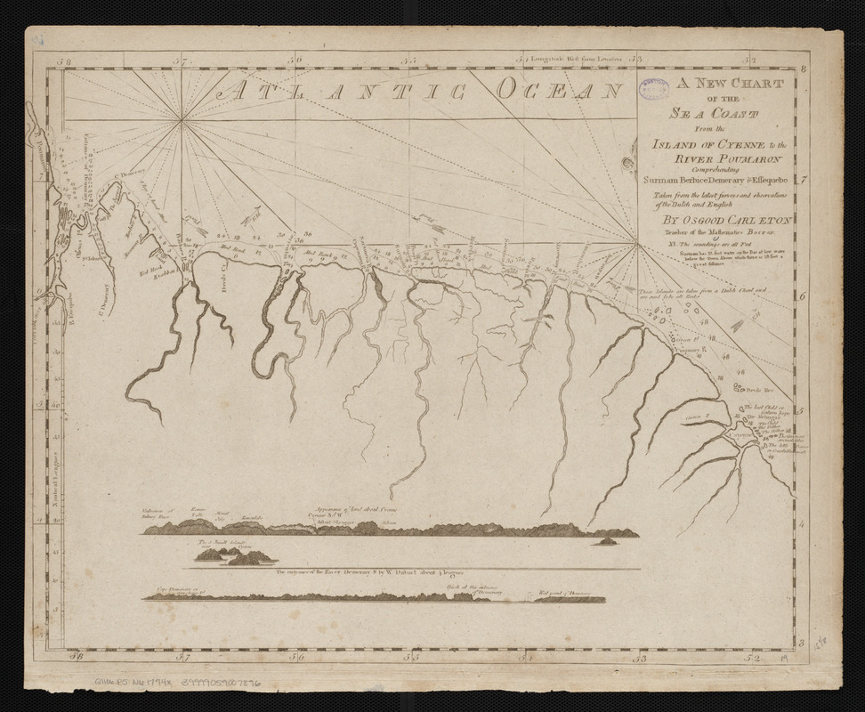
A new chart of the sea coast from the island of Cyenne to the river Poumaron comprehending Surinam Berbice Demerary & Essequebo taken from the latest surveys and observations of the Dutch and English
This map is also available in American Revolutionary Geographies Online (ARGO), a collections portal especially built for material relating to the American Revolutionary War Era. Visit ARGO to learn more about this item and explore the historical geography of North America in the late eighteenth century.
Item Information
- Title:
- A new chart of the sea coast from the island of Cyenne to the river Poumaron comprehending Surinam Berbice Demerary & Essequebo taken from the latest surveys and observations of the Dutch and English
- Creator:
- Carleton, Osgood, 1742-1816
- Cartographer:
- Carleton, Osgood, 1742-1816
- Publisher:
- Norman, John, 1748?-1817
- Name on Item:
-
by Osgood Carleton teacher of mathematics Boston
- Date:
-
[1794]
- Format:
-
Maps/Atlases
- Location:
-
Boston Public Library
Norman B. Leventhal Map & Education Center - Collection (local):
-
Norman B. Leventhal Map & Education Center Collection
- Subjects:
-
Coasts--French Guiana--Maps--Early works to 1800
Coasts--Guyana--Maps--Early works to 1800
Coasts--Suriname--Maps--Early works to 1800
Nautical charts--French Guiana--Early works to 1800
Nautical charts--Guyana--Early works to 1800
Nautical charts--Suriname--Early works to 1800
French Guiana--Maps--Early works to 1800
Guyana--Maps--Early works to 1800
Suriname--Maps--Early works to 1800
- Places:
-
French Guiana (territory)
Guyana
Suriname
- Extent:
- 1 map ; 39 x 49 cm
- Terms of Use:
-
No known copyright restrictions.
No known restrictions on use.
- Publisher:
-
[Boston] :
John Norman
- Scale:
-
Scale approximately 1:1,460,000
- Language:
-
English
- Notes:
-
Depths shown by soundings.
Includes 3 coastal profiles.
In John Norman's American pilot. Boston : John Norman, 1794.
- Notes (date):
-
This date is inferred.
- Identifier:
-
06_01_004801
- Call #:
-
G1106.P5 N6 1794x
- Barcode:
-
30000005058347