Toggle navigation
LMEC Home
Exhibitions
Georeferencing
Tools for Teachers
Collections
My Favorites
Sign Up / Log In
Search
Search the map portal
Map Collection
Map Collection
Map Sets
Search
Search
Search for
Search In
All Fields
Creator
Title
Subject
Place
Search All Digital Collections
Advanced Search
8552 Results
My Search
Start Over
More Like
commonwealth:6t053r38j
Remove constraint More Like: commonwealth:6t053r38j
Filter your Search
Place
North and Central America
5,846
United States
4,769
Massachusetts
2,052
Europe
1,359
Suffolk (county)
1,034
Boston
1,007
Canada
448
Asia
422
more
Place
»
Topic
Boston (Mass.)--Maps
577
United States--Maps
273
Real property--Massachusetts--Boston--Maps
174
Massachusetts--Maps
160
Landowners--Massachusetts--Boston--Maps
132
North America--Maps--Early works to 1800
103
New England--Maps
99
Europe--Maps
78
more
Topic
»
Date
Date range begin
–
Date range end
Current results range from
1482
to
2023
View distribution
Creator
United States. Hydrographic Office
594
O.H. Bailey & Co
148
Des Barres, Joseph F. W. (Joseph Frederick Wallet), 1722-1824
123
United States. Post Office Dept
120
Ptolemy, 2nd cent
100
Walling, Henry Francis, 1825-1888
94
Geological Survey (U.S.)
86
Jefferys, Thomas, -1771
86
more
Creator
»
Format
Maps/Atlases
8,493
Manuscripts
216
Prints
56
Books
36
Objects/Artifacts
10
Drawings/Illustrations
8
Posters
4
Georeferenced
Yes
869
No
7,683
Collection
Norman B. Leventhal Map & Education Center Collection
8,549
Boston and New England Maps
2,204
Urban Maps
1,936
Maritime Charts and Atlases
1,081
American Revolutionary War-Era Maps
619
Boston Redevelopment Authority Collection
87
Richard H. Brown Revolutionary War Map Collection at Mount Vernon
2
Newberry Library Collection
1
Available to use
No known restrictions
8,408
Creative Commons license
48
Search Constraints
Sort by relevance
relevance
title
date (asc)
date (desc)
Number of results to display per page
20 per page
10
per page
20
per page
50
per page
100
per page
View results as:
grid view
map view
Search Results
3541.
Map of Ho-De-No-Sau-Nee-Ga or the people of the long house : compiled 1851 by Lewis H. Morgan & Ely S. Parker a Seneca sachem...
3542.
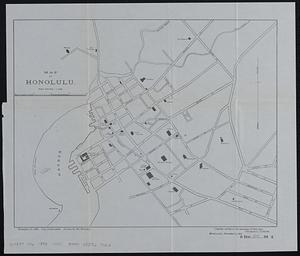
Map of Honolulu
3543.
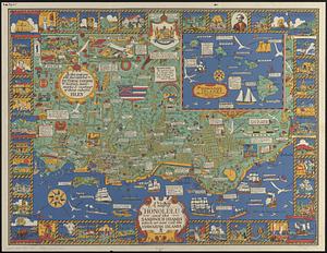
A map of Honolulu and the Sandwich Islands which we now call the Hawaiian Islands
3544.
Map of Housatonic
3545.
Map of Hyde Park and Milton
3546.
Map of Hyde Park and Milton
3547.
Map of Hyde Park and Vicinity : Norfolk County, Mass
3548.
Map of Illinois
3549.
Map of Indiana
3550.
Map of Iowa
3551.
A map of Ireland according to the best authorities
3552.
Map of Italy and Switzerland
3553.
Map of Italy with the ancient and modern names
3554.
Map of Jackson County, Michigan
3555.
Map of Jamaica : prepared from the best authorities by order of His Excellency Sir Henry Wylie Norman, G.C.B. G.C.M.G., C.I.E.,...
3556.
[Map of Japan]
3557.
Map of Japan
3558.
Map of Jefferson County, Ohio : from actual surveys
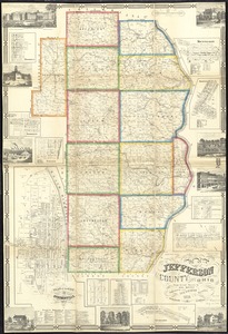
3559.
Map of Jeffersonville enlarged
3560.
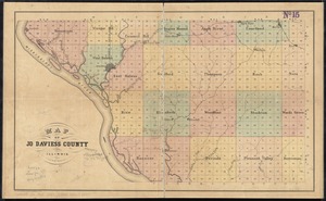
Map of Jo Daviess County, Illinois
‹ Prev
Next ›
1
2
…
174
175
176
177
178
179
180
181
182
…
427
428


![[Map of Japan]](https://bpldcassets.blob.core.windows.net/derivatives/images/commonwealth:794083229/image_thumbnail_300.jpg)