Toggle navigation
LMEC Home
Exhibitions
Georeferencing
Tools for Teachers
Collections
My Favorites
Sign Up / Log In
Search
Search the map portal
Map Collection
Map Collection
Map Sets
Search
Search
Search for
Search In
All Fields
Creator
Title
Subject
Place
Search All Digital Collections
Advanced Search
8658 Results
My Search
Start Over
More Like
commonwealth:6t053q42x
Remove constraint More Like: commonwealth:6t053q42x
Filter your Search
Place
North and Central America
5,897
United States
4,815
Massachusetts
2,069
Europe
1,392
Suffolk (county)
1,041
Boston
1,014
Canada
449
Asia
437
more
Place
»
Topic
Boston (Mass.)--Maps
582
United States--Maps
279
Real property--Massachusetts--Boston--Maps
175
Massachusetts--Maps
161
Landowners--Massachusetts--Boston--Maps
133
North America--Maps--Early works to 1800
103
New England--Maps
101
Europe--Maps
79
more
Topic
»
Date
Date range begin
–
Date range end
Current results range from
1482
to
2023
View distribution
Creator
United States. Hydrographic Office
595
O.H. Bailey & Co
148
Des Barres, Joseph F. W. (Joseph Frederick Wallet), 1722-1824
123
United States. Post Office Dept
120
Ptolemy, 2nd cent
100
Walling, Henry Francis, 1825-1888
94
Geological Survey (U.S.)
86
Jefferys, Thomas, -1771
85
more
Creator
»
Format
Maps/Atlases
8,598
Manuscripts
217
Prints
56
Books
36
Objects/Artifacts
10
Drawings/Illustrations
8
Posters
5
Georeferenced
Yes
870
No
7,788
Collection
Norman B. Leventhal Map & Education Center Collection
8,647
Boston and New England Maps
2,221
Urban Maps
1,992
Maritime Charts and Atlases
1,084
American Revolutionary War-Era Maps
625
Boston Redevelopment Authority Collection
87
Richard H. Brown Revolutionary War Map Collection at Mount Vernon
8
Library of Congress Collection
1
more
Collection
»
Available to use
No known restrictions
8,505
Creative Commons license
58
Search Constraints
Sort by relevance
relevance
title
date (asc)
date (desc)
Number of results to display per page
20 per page
10
per page
20
per page
50
per page
100
per page
View results as:
grid view
map view
Search Results
1.
A plan of New York Island, with part of Long Island, Staten Island & east New Jersey, with a particular description of the...
2.
A plan of New York Island, with part of Long Island, Staten Island & east New Jersey, with a particular description of the...
3.
The seat of action, between the British and American forces : or an authentic plan of the western part of Long Island, with the...
4.
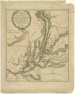
The Country twenty five miles round New York
5.
Attaque de l'armée des provinciaux dans Long Island du 27. Aoust 1776 : dessin de l'isle de New-York et des Etats
6.
A plan of New York Island, with part of Long Island, Staten Island & east New Jersey, with a particular description of the...
7.
The seat of action, between the British and American forces : or an authentic plan of the western part of Long Island, with the...
8.
Chart of the entrance of Hudson's River, from Sandy Hook to New York, with the banks, depths of water, sailing-marks, & ca
9.
A draught of New York from the Hook to New York Town
10.
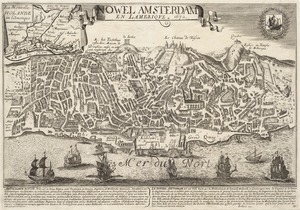
Nowel Amsterdam en Lamerique : 1672
11.
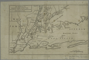
[A chart of New York Island & North River : East River, passage through Hell Gate, Flushing Bay, Hampstead Bay, Oyster,...
12.
Chart and plan of the harbour of New York & the couny. adjacent, from Sandy Hook to Kingsbridge, comprehending the whole of New...
13.
A plan of New York Island, part of Long Island &c. shewing the position of the American and British Armies, before, at, and...
14.
Map of the progress of His Majesty's armies in New York, during the late campaign : illustrating the accounts published in the...
15.
Position du camp de l'armée combinée a Philipsburg du 6 juillet au 19 aoust
16.
An accurate map of Staten Island : with that part of New York, Long Island and the Jerseys, which is the rendesvous of the two...
17.
Connecticut and parts adjacent
18.
Connecticut and parts adjacent
19.
A large draught of New England, New York and Long Island
20.
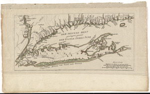
Der Teufels Belt gemeiniglich genannt der Lange Insels Sund
‹ Prev
Next ›
1
2
3
4
5
…
432
433