Toggle navigation
LMEC Home
Exhibitions
Georeferencing
Tools for Teachers
Collections
My Favorites
Sign Up / Log In
Search
Search the map portal
Map Collection
Map Collection
Map Sets
Search
Search
Search for
Search In
All Fields
Creator
Title
Subject
Place
Search All Digital Collections
Advanced Search
8764 Results
My Search
Start Over
More Like
commonwealth:6t053p90c
Remove constraint More Like: commonwealth:6t053p90c
Filter your Search
Place
North and Central America
5,995
United States
4,909
Massachusetts
2,086
Europe
1,396
Suffolk (county)
1,046
Boston
1,019
Canada
458
Asia
438
more
Place
»
Topic
Boston (Mass.)--Maps
586
United States--Maps
282
Real property--Massachusetts--Boston--Maps
175
Massachusetts--Maps
162
Landowners--Massachusetts--Boston--Maps
133
North America--Maps--Early works to 1800
106
New England--Maps
102
New England--Maps--Early works to 1800
97
more
Topic
»
Date
Date range begin
–
Date range end
Current results range from
1482
to
2023
View distribution
Creator
United States. Hydrographic Office
595
O.H. Bailey & Co
148
Des Barres, Joseph F. W. (Joseph Frederick Wallet), 1722-1824
123
United States. Post Office Dept
120
Ptolemy, 2nd cent
100
Walling, Henry Francis, 1825-1888
94
Jefferys, Thomas, -1771
89
Geological Survey (U.S.)
86
more
Creator
»
Format
Maps/Atlases
8,704
Manuscripts
216
Prints
56
Books
36
Objects/Artifacts
10
Drawings/Illustrations
8
Posters
5
Georeferenced
Yes
874
No
7,890
Collection
Norman B. Leventhal Map & Education Center Collection
8,719
Boston and New England Maps
2,245
Urban Maps
2,023
Maritime Charts and Atlases
1,086
American Revolutionary War-Era Maps
653
Boston Redevelopment Authority Collection
87
Mapping Boston Collection
23
Sidney R. Knafel Map Collection at Phillips Academy
15
more
Collection
»
Available to use
No known restrictions
8,555
Creative Commons license
86
Search Constraints
Sort by relevance
relevance
title
date (asc)
date (desc)
Number of results to display per page
20 per page
10
per page
20
per page
50
per page
100
per page
View results as:
grid view
map view
Search Results
3981.
A Map of the British American plantations, extending from Boston in New England to Georgia : including all the back settlements...
3982.
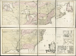
A map of the British and French dominions in North America : with the roads, distances, limits, and extent of the settlements,...
3983.
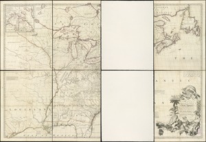
A map of the British and French dominions in North America : with the roads, distances, limits, and extent of the settlements,...
3984.
Map of the British and French dominions in North America, drawn by order of the British government in 1755, showing what that...
3985.
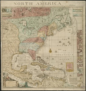
A map of the British and French dominions in North America, with the roads, distances, limits, and extent of the settlements
3986.
A map of the British and French settlements in North America
3987.
A map of the British colonies in North America : with the roads, distances, limits, and extent of the settlements, humbly...
3988.
A map of the British Empire in America with the French and Spanish settlements adjacent thereto
3989.
A map of the British Empire in America with the French and Spanish settlements adjacent thereto
3990.
A map of the British Empire in America with the French and Spanish settlements adjacent throughout
3991.
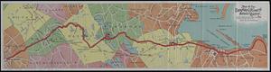
Map of the Brockton & Plymouth street railway
3992.
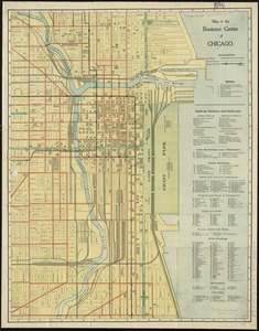
Map of the business center of Chicago
3993.
Map of the Canadian Rockies triangle tour of British Columbia, Alaska and the Yukon
3994.
Map of the canals and rail roads for transporting anthracite coal from the several coal fields to the city of New York
3995.
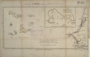
A map of the Cape de Verd Islands with the adjacent coast of Africa, the settlements of Senegal, Gambia and Goree, also a plan...
3996.
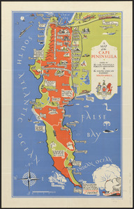
A map of the Cape Peninsula
3997.
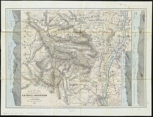
Map of the Catskill Mountains
3998.
Map of the cemetery of Mount Auburn, Boston
3999.
Map of the central business district city of Boston showing the location of underground conduits
4000.
Map of the central business district of Boston
‹ Prev
Next ›
1
2
…
196
197
198
199
200
201
202
203
204
…
438
439