Toggle navigation
LMEC Home
Exhibitions
Georeferencing
Tools for Teachers
Collections
My Favorites
Sign Up / Log In
Search
Search the map portal
Map Collection
Map Collection
Map Sets
Search
Search
Search for
Search In
All Fields
Creator
Title
Subject
Place
Search All Digital Collections
Advanced Search
8785 Results
My Search
Start Over
More Like
commonwealth:6h447013g
Remove constraint More Like: commonwealth:6h447013g
Filter your Search
Place
North and Central America
6,016
United States
4,934
Massachusetts
2,089
Europe
1,396
Suffolk (county)
1,136
Boston
1,109
Canada
449
Asia
438
more
Place
»
Topic
Boston (Mass.)--Maps
606
United States--Maps
282
Real property--Massachusetts--Boston--Maps
254
Landowners--Massachusetts--Boston--Maps
170
Massachusetts--Maps
162
City planning--Massachusetts--Boston--Maps
118
North America--Maps--Early works to 1800
103
New England--Maps
102
more
Topic
»
Date
Date range begin
–
Date range end
Current results range from
1482
to
2023
View distribution
Creator
United States. Hydrographic Office
595
O.H. Bailey & Co
148
Des Barres, Joseph F. W. (Joseph Frederick Wallet), 1722-1824
123
Boston Redevelopment Authority
121
United States. Post Office Dept
120
Ptolemy, 2nd cent
100
Walling, Henry Francis, 1825-1888
94
Geological Survey (U.S.)
86
more
Creator
»
Format
Maps/Atlases
8,725
Manuscripts
215
Prints
56
Books
36
Objects/Artifacts
10
Drawings/Illustrations
8
Posters
5
Georeferenced
Yes
869
No
7,916
Collection
Norman B. Leventhal Map & Education Center Collection
8,696
Boston and New England Maps
2,288
Urban Maps
2,078
Maritime Charts and Atlases
1,083
American Revolutionary War-Era Maps
616
Boston Redevelopment Authority Collection
141
Massachusetts Real Estate Atlases
35
Applied Geographics, Inc. Records
1
Available to use
No known restrictions
8,608
Creative Commons license
47
Search Constraints
Sort by relevance
relevance
title
date (asc)
date (desc)
Number of results to display per page
20 per page
10
per page
20
per page
50
per page
100
per page
View results as:
grid view
map view
Search Results
3881.
Map of Massachusetts
3882.
Map of Massachusetts and Rhode Island
3883.
Map of Massachusetts, Connecticut and Rhode Island constructed from the latest authorities
3884.
Map of Massachusetts, Connecticut and Rhode Island constructed from the latest authorities
3885.
Map of Massachusetts, Connecticut and Rhode Island constructed from the latest authorities
3886.
A map of Massachusetts, Connecticut and Rhodeisland
3887.
A map of Massachusetts, exhibiting the boundary lines of each town and county : compiled from the latest authorities, embracing...
3888.
Map of Massachusetts proper
3889.
Map of Massachusetts, Rhode-Island & Connecticut : compiled from the latest authorities
3890.
Map of Massachusetts, Rhode-Island & Connecticut : compiled from the latest authorities
3891.
Map of Massachusetts showing population according to census of 1910
3892.
Map of Massachusetts showing population according to United States Census of 1900 and congressional districts
3893.
Map of Massachusetts showing state highways laid out & petitioned for
3894.
Map of Massachusetts showing state highways laid out & petitioned for
3895.
Map of Massachusetts showing state highways laid out and petitioned for
3896.
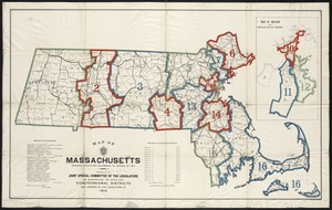
A map of Massachusetts, showing the congressional districts, as proposed by the Senate of 1852
3897.
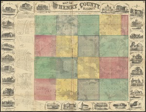
Map of McHenry County, Illinois
3898.
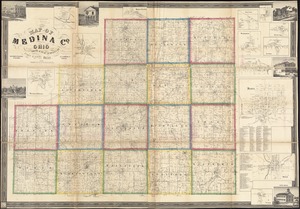
Map of Medina Co., Ohio
3899.
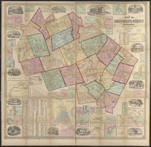
Map of Merrimack County, New Hampshire
3900.
A Map of Methuen, Mass
‹ Prev
Next ›
1
2
…
191
192
193
194
195
196
197
198
199
…
439
440