Search Constraints
Search Results


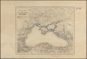
3223. Kriegs-karte 1870
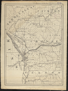
3228. Lacrosse County, Wis.
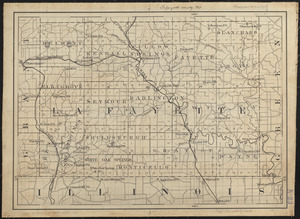
3229. Lafayette County, Wis.

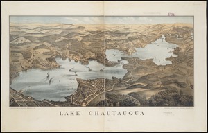
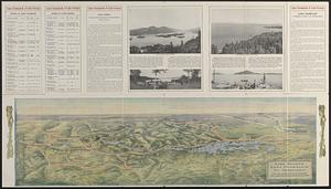
3231. Lake Chautauqua
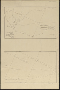
3232. Lake Erie
3233. Lake Erie
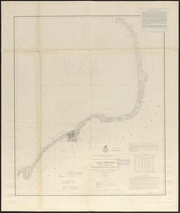
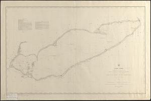
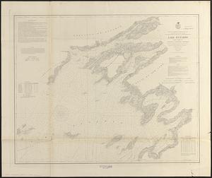
3235. Lake Ontario
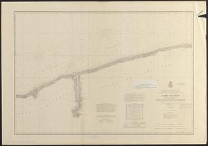
3236. Lake Ontario
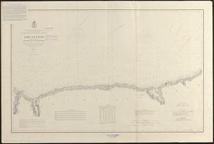
3237. Lake Ontario
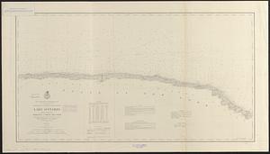
3238. Lake Ontario
3239. Lake Ontario