Toggle navigation
LMEC Home
Exhibitions
Georeferencing
Tools for Teachers
Collections
My Favorites
Sign Up / Log In
Search
Search the map portal
Map Collection
Map Collection
Map Sets
Search
Search
Search for
Search In
All Fields
Creator
Title
Subject
Place
Search All Digital Collections
Advanced Search
8566 Results
My Search
Start Over
More Like
commonwealth:4m90fm59z
Remove constraint More Like: commonwealth:4m90fm59z
Filter your Search
Place
North and Central America
5,860
United States
4,784
Massachusetts
2,056
Europe
1,359
Suffolk (county)
1,038
Boston
1,011
Canada
448
Asia
423
more
Place
»
Topic
Boston (Mass.)--Maps
580
United States--Maps
278
Real property--Massachusetts--Boston--Maps
175
Massachusetts--Maps
160
Landowners--Massachusetts--Boston--Maps
133
North America--Maps--Early works to 1800
103
New England--Maps
101
Europe--Maps
78
more
Topic
»
Date
Date range begin
–
Date range end
Current results range from
1482
to
2023
View distribution
Creator
United States. Hydrographic Office
594
O.H. Bailey & Co
148
Des Barres, Joseph F. W. (Joseph Frederick Wallet), 1722-1824
123
United States. Post Office Dept
120
Ptolemy, 2nd cent
100
Walling, Henry Francis, 1825-1888
94
Geological Survey (U.S.)
86
Jefferys, Thomas, -1771
85
more
Creator
»
Format
Maps/Atlases
8,507
Manuscripts
215
Prints
56
Books
36
Objects/Artifacts
10
Drawings/Illustrations
8
Posters
4
Georeferenced
Yes
869
No
7,697
Collection
Norman B. Leventhal Map & Education Center Collection
8,565
Boston and New England Maps
2,210
Urban Maps
1,940
Maritime Charts and Atlases
1,081
American Revolutionary War-Era Maps
616
Boston Redevelopment Authority Collection
87
Sidney R. Knafel Map Collection at Phillips Academy
1
Available to use
No known restrictions
8,424
Creative Commons license
46
Search Constraints
Sort by relevance
relevance
title
date (asc)
date (desc)
Number of results to display per page
20 per page
10
per page
20
per page
50
per page
100
per page
View results as:
grid view
map view
Search Results
41.
Hark! Hark! The dogs do bark! : with note by Walter Emanuel = Horch! Horch! Die hunde bellen! : mit einer begleitschrift von...
42.
Karte des deutsch-französischen kriegsschauplatzes
43.
Karte vom kriegschauplatz
44.
Karte von Europa und dem Mittelländischen Meere
45.
The lesson of the war map
46.
Letts's war map of Central Europe
47.
The Literary Digest liberty map of the Western Front of the Great World War showing the battle line of liberty as it stood...
48.
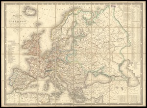
Map of Europe : drawn from all the best surveys and rectified by astronomical observations
49.
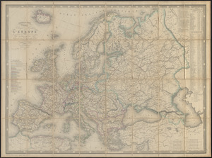
Map of Europe : compiled from the latest authorities
50.
The map of Europe
51.
A map of Europe, and the countries bordering on the Mediterranean & Black Seas, from the latest authorities
52.
Map of Europe showing countries as established by the Peace Conference at Paris
53.
Map of the races of Europe and adjoining portions of Asia and Africa
54.
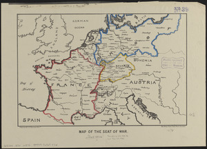
Map of the seat of war
55.
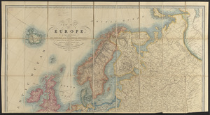
Maps of Europe
56.
Navigation à vapeur dans le bassin de la Méditerranée et chemins de fer de l'Europe Centrale
57.
A new map of Europe, exhibiting its natural and political divisions : drawn from the most recent authorities (improves to the...
58.
Nouvelle carte physique, politique & routière de l'Europe : indiquant les grandes voies de communication par mer et par terre
59.
Nouvelle carte physique, politique & routière de l'Europe : indiquant les grandes voies de communication par mer et par terre
60.
Philips' map of the seat of war shewing the country from Paris to Berlin, with the Rhine Provinces on a large scale
‹ Prev
Next ›
1
2
3
4
5
6
7
…
428
429