Search Constraints
Search Results


605. Baltic Basin

606. Baltic provinces


614. Barbadoes

615. Barbados

616. Barbaria


620. Barrington Bay


622. Barron County, Wis.


629. Barton, Vt

630. Base map of Illinois


632. Bataan

633. Bath, Penn

634. Baton Rouge


639. Battle of Zorndorf


651. Bay Bulls

652. Bay of Chaleurs

![[Bay of Seven Islands]](https://bpldcassets.blob.core.windows.net/derivatives/images/commonwealth:7h149v48t/image_thumbnail_300.jpg)


657. La Beauce


659. Becket

660. Becket, Mass


662. Bedford Co., Pa


668. Belgii veteris typus


670. Bellows Falls, Vt


677. Berkley Co., W. Va
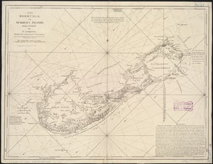
679. Bermudas
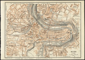
681. Bern