Toggle navigation
LMEC Home
Exhibitions
Georeferencing
Tools for Teachers
Collections
My Favorites
Sign Up / Log In
Search
Search the map portal
Map Collection
Map Collection
Map Sets
Search
Search
Search for
Search In
All Fields
Creator
Title
Subject
Place
Search All Digital Collections
Advanced Search
8703 Results
My Search
Start Over
More Like
commonwealth:3f462v029
Remove constraint More Like: commonwealth:3f462v029
Filter your Search
Place
North and Central America
5,929
United States
4,845
Massachusetts
2,079
Europe
1,396
Suffolk (county)
1,046
Boston
1,019
Canada
449
Asia
438
more
Place
»
Topic
Boston (Mass.)--Maps
586
United States--Maps
282
Real property--Massachusetts--Boston--Maps
175
Massachusetts--Maps
162
Landowners--Massachusetts--Boston--Maps
133
North America--Maps--Early works to 1800
103
New England--Maps
102
Europe--Maps
79
more
Topic
»
Date
Date range begin
–
Date range end
Current results range from
1482
to
2023
View distribution
Creator
United States. Hydrographic Office
595
O.H. Bailey & Co
148
Des Barres, Joseph F. W. (Joseph Frederick Wallet), 1722-1824
123
United States. Post Office Dept
120
Ptolemy, 2nd cent
100
Walling, Henry Francis, 1825-1888
94
Jefferys, Thomas, -1771
88
Geological Survey (U.S.)
86
more
Creator
»
Format
Maps/Atlases
8,643
Manuscripts
217
Prints
56
Books
36
Objects/Artifacts
10
Drawings/Illustrations
8
Posters
5
Georeferenced
Yes
870
No
7,833
Collection
Norman B. Leventhal Map & Education Center Collection
8,694
Boston and New England Maps
2,233
Urban Maps
2,023
Maritime Charts and Atlases
1,083
American Revolutionary War-Era Maps
624
Boston Redevelopment Authority Collection
87
Richard H. Brown Revolutionary War Map Collection at Mount Vernon
7
Newberry Library Collection
2
Available to use
No known restrictions
8,552
Creative Commons license
54
Search Constraints
Sort by relevance
relevance
title
date (asc)
date (desc)
Number of results to display per page
20 per page
10
per page
20
per page
50
per page
100
per page
View results as:
grid view
map view
Search Results
2021.
Il disegno del discoperto della noua Franza : ilquale s'è hauuto ultimamente dalla nouissima nauigatione dè Franzesi in quel...
2022.
Distribution of the colored population of the United States : 1890
2023.
Distribution of the iron ores mined in the Lake Superior Region in the year 1902
2024.
Distribution of the magnetic declination in the United States in 1900
2025.
Distribution of the population of the United States : 1890
2026.
District map of the lower Mississippi River
2027.
District within fire limit of Tokyo - 1928
2028.
Disturnell's new map of the United States and Canada showing all the canals, rail roads, telegraph lines and principal stage...
2029.
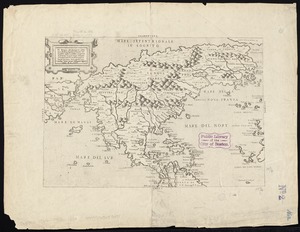
Diversi globi terr-aquei statione variante et visu intercedente, per coluros tropicorum, per ambos polos et particul : sphaerae...
2030.
Dobroudja Campaigne, Oct. 1916 : Volhynie Campaigne, Oct. 1916 ; Izonzo Campaigne, Oct. 1916
2031.
Dodge County, Wis.
2032.
Dodgeville, Massachusetts
2033.
Domina Anglorum in America Septentrionali specialibus mappis Londini primum a Mollio edita, nunc recusa ab Homannianis Hered =...
2034.
Dominica
2035.
Dominica from an actual survey compleated in the year 1773
2036.
Dominican Republic road map 1:250,000
2037.
Dominio Fiorentino
2038.
Dominion of Canada
2039.
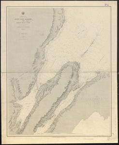
Dominion of Canada, Cape Breton Island, Saint Anne Harbor and Great Bras d'Or : from British surveys in 1848-57
2040.
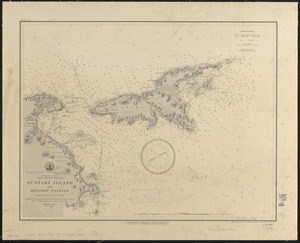
Dominion of Canada, Cape Breton Island, Scatari Island and Menadou Passage : from a British survey in 1850
‹ Prev
Next ›
1
2
…
98
99
100
101
102
103
104
105
106
…
435
436