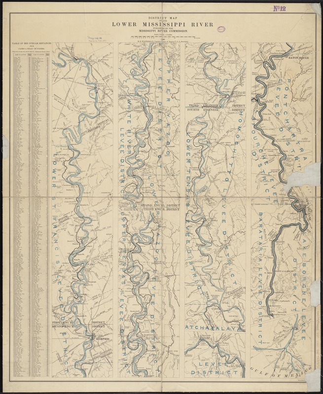
District map of the lower Mississippi River
Item Information
- Title:
- District map of the lower Mississippi River
- Creator:
- United States. Army. Corps of Engineers
- Name on Item:
-
H. E. Waterman, Captain, Corps of Eng'rs.
- Date:
-
1897
- Format:
-
Maps/Atlases
- Location:
-
Boston Public Library
Norman B. Leventhal Map & Education Center - Collection (local):
-
Norman B. Leventhal Map & Education Center Collection
- Subjects:
-
Mississippi River--Maps
- Places:
-
Mississippi River
- Extent:
- 6 sections on 1 sheet : col. ; sheet 92 x 76 cm.
- Terms of Use:
-
No known copyright restrictions.
No known restrictions on use.
- Publisher:
-
[Washington, D.C.] :
Mississippi River Commission
- Scale:
-
Scale [1:316,800]. 1 inch = 5 miles
- Language:
-
English
- Notes:
-
Relief shown by hachures.
Includes table of midstream distances.
- Identifier:
-
06_01_008637
- Call #:
-
G4042.M5 1897 .U55
- Barcode:
-
39999065655415


