Toggle navigation
LMEC Home
Exhibitions
Georeferencing
Tools for Teachers
Collections
My Favorites
Sign Up / Log In
Search
Search the map portal
Map Collection
Map Collection
Map Sets
Search
Search
Search for
Search In
All Fields
Creator
Title
Subject
Place
Search All Digital Collections
Advanced Search
8931 Results
My Search
Start Over
More Like
commonwealth:1257c311p
Remove constraint More Like: commonwealth:1257c311p
Filter your Search
Place
North and Central America
6,162
United States
5,078
Massachusetts
2,150
Europe
1,396
Suffolk (county)
1,277
Boston
1,250
Canada
449
Asia
438
more
Place
»
Topic
Boston (Mass.)--Maps
753
United States--Maps
282
Real property--Massachusetts--Boston--Maps
254
City planning--Massachusetts--Boston--Maps
196
Landowners--Massachusetts--Boston--Maps
170
Massachusetts--Maps
166
New England--Maps
104
North America--Maps--Early works to 1800
103
more
Topic
»
Date
Date range begin
–
Date range end
Current results range from
1482
to
2023
View distribution
Creator
United States. Hydrographic Office
595
Boston Redevelopment Authority
202
O.H. Bailey & Co
148
Des Barres, Joseph F. W. (Joseph Frederick Wallet), 1722-1824
124
United States. Post Office Dept
120
Ptolemy, 2nd cent
100
Walling, Henry Francis, 1825-1888
94
Geological Survey (U.S.)
87
more
Creator
»
Format
Maps/Atlases
8,871
Manuscripts
215
Prints
56
Books
36
Objects/Artifacts
10
Drawings/Illustrations
8
Posters
5
Georeferenced
Yes
885
No
8,046
Collection
Norman B. Leventhal Map & Education Center Collection
8,725
Boston and New England Maps
2,401
Urban Maps
2,185
Maritime Charts and Atlases
1,083
American Revolutionary War-Era Maps
638
Boston Redevelopment Authority Collection
233
Massachusetts Real Estate Atlases
38
Mapping Boston Collection
20
more
Collection
»
Available to use
No known restrictions
8,708
Creative Commons license
70
Search Constraints
Sort by relevance
relevance
title
date (asc)
date (desc)
Number of results to display per page
20 per page
10
per page
20
per page
50
per page
100
per page
View results as:
grid view
map view
Search Results
4761.
Map of the northern part of the state of New York
4762.
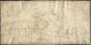
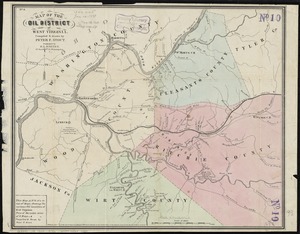
Map of the oil district of West Virginia
4763.
[Map of the operations at the seige of Savannah in 1779, by the French and American forces]
4764.
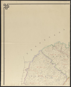
Map of the Orange River Colony
4765.
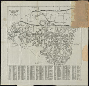
Map of the Oranges, and Irvington, New Jersey
4766.
Map of the Oregon Territory
4767.
Map of the original grants of village lots from the Dutch West India Company to the inhabitants of New-Amsterdam (now New-York)...
4768.
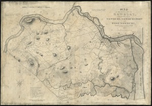
Map of the original town of Newbury, now divided into Newbury, Newburyport and West Newbury
4769.
Map of the Parish of Tensas, Louisiana : from United States Surveys
4770.
Map of the part of the boroughs of Manhattan and Bronx, New York City
4771.
Map of the Peloponnese during the Peloponnesian War
4772.
Map of the Philippine Islands and Sulu Archipelago
4773.
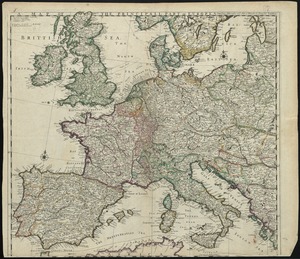
A map of the principall part of Europe
4774.
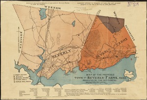
Map of the proposed town of Beverly Farms, Mass : presented by the Petitioners
4775.
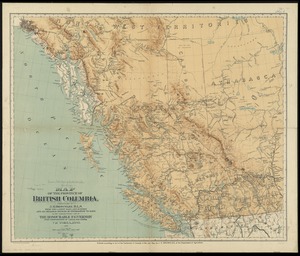
Map of the province of British Columbia
4776.
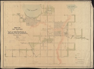
Map of the province of Manitoba, shewing the surveys effected in 1871
4777.
A map of the province of Massachusets Bay and colony of Rhode Island, with part of Connecticut, New Hampshire, and Vermont
4778.
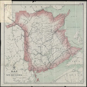
Map of the province of New Brunswick
4779.
Map of the province of Nova Scotia including Cape Breton Prince Edwards Island and part of New Brunswick
4780.
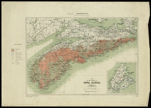
Map of the province of Nova Scotia to illustrate report by E.R. Faribault, B.A. Sc. on the "Gold fields of Nova Scotia"
‹ Prev
Next ›
1
2
…
235
236
237
238
239
240
241
242
243
…
446
447

![[Map of the operations at the seige of Savannah in 1779, by the French and American forces]](https://bpldcassets.blob.core.windows.net/derivatives/images/commonwealth:9s161g724/image_thumbnail_300.jpg)