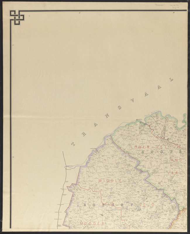
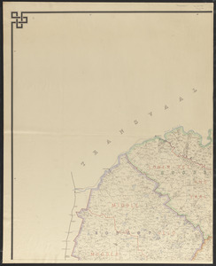
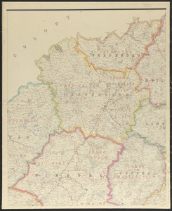
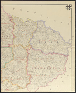
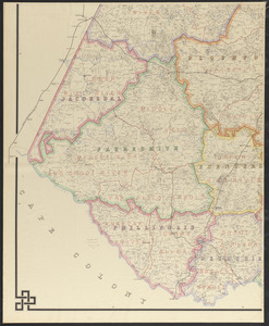
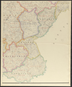
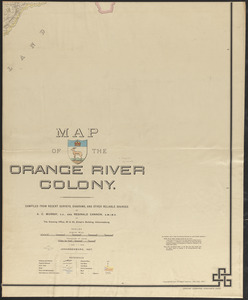
Map of the Orange River Colony
Item Information
- Title:
- Map of the Orange River Colony
- Cartographer:
- Murray, A. C.
- Cartographer:
- Cannon, Reginald
- Publisher:
- Edward Stanford Ltd.
- Name on Item:
-
compiled from recent surveys, diagrams, and other reliable sources by A.C. Murray, C.E., and Reginald Cannon, A.M.I.M.E.
- Date:
-
1907
- Format:
-
Maps/Atlases
- Location:
-
Boston Public Library
Norman B. Leventhal Map & Education Center - Collection (local):
-
Norman B. Leventhal Map & Education Center Collection
- Subjects:
-
Coal mines and mining--South Africa--Free State--Maps
Diamond mines and mining--South Africa--Free State--Maps
Real property--South Africa--Free State--Maps
Farms--South Africa--Free State--Maps
Free State (South Africa)--Maps
- Places:
-
South AfricaFree State (province)
- Extent:
- 1 map on 6 sheets : color ; 174 x 213 cm, on sheets 76 x 92 cm
- Terms of Use:
-
No known copyright restrictions.
No known restrictions on use.
- Publisher:
-
London :
Edward Stanford
- Scale:
-
Scale 1:253,440. 1/4 inch = 1 mile
- Language:
-
English
- Identifier:
-
06_01_015389_A
06_01_015389_B
06_01_015389_C
06_01_015389_D
06_01_015389_E
06_01_015389_F
- Call #:
-
G8503.F7G46 1907 .M87
- Barcode:
-
39999085936555


