Toggle navigation
LMEC Home
Exhibitions
Georeferencing
Tools for Teachers
Collections
My Favorites
Sign Up / Log In
Search
Search the map portal
Map Collection
Map Collection
Map Sets
Search
Search
Search for
Search In
All Fields
Creator
Title
Subject
Place
Search All Digital Collections
Advanced Search
8950 Results
My Search
Start Over
More Like
commonwealth:1257bt93b
Remove constraint More Like: commonwealth:1257bt93b
Filter your Search
Place
North and Central America
6,181
United States
5,097
Massachusetts
2,174
Europe
1,396
Suffolk (county)
1,296
Boston
1,269
Canada
449
Asia
438
more
Place
»
Topic
Boston (Mass.)--Maps
753
United States--Maps
282
Real property--Massachusetts--Boston--Maps
254
City planning--Massachusetts--Boston--Maps
212
Landowners--Massachusetts--Boston--Maps
170
Massachusetts--Maps
166
Urban renewal--Massachusetts--Boston--Maps
118
New England--Maps
104
more
Topic
»
Date
Date range begin
–
Date range end
Current results range from
1482
to
2023
View distribution
Creator
United States. Hydrographic Office
595
Boston Redevelopment Authority
216
O.H. Bailey & Co
148
Des Barres, Joseph F. W. (Joseph Frederick Wallet), 1722-1824
124
United States. Post Office Dept
120
Ptolemy, 2nd cent
100
Walling, Henry Francis, 1825-1888
94
Geological Survey (U.S.)
87
more
Creator
»
Format
Maps/Atlases
8,889
Manuscripts
215
Prints
56
Books
36
Objects/Artifacts
10
Drawings/Illustrations
9
Posters
5
Georeferenced
Yes
885
No
8,065
Collection
Norman B. Leventhal Map & Education Center Collection
8,726
Boston and New England Maps
2,417
Urban Maps
2,200
Maritime Charts and Atlases
1,083
American Revolutionary War-Era Maps
642
Boston Redevelopment Authority Collection
248
Massachusetts Real Estate Atlases
38
Mapping Boston Collection
21
more
Collection
»
Available to use
No known restrictions
8,723
Creative Commons license
71
Search Constraints
Sort by relevance
relevance
title
date (asc)
date (desc)
Number of results to display per page
20 per page
10
per page
20
per page
50
per page
100
per page
View results as:
grid view
map view
Search Results
4421.
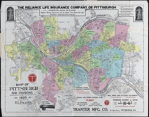
Map of Pittsburgh and environs : from official records, original plats, and actual surveys
4422.
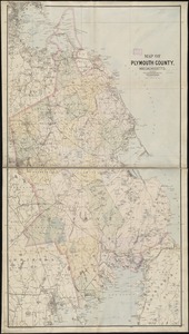
Map of Plymouth County, Mass.
4423.
Map of Plymouth County, Massachusetts
4424.
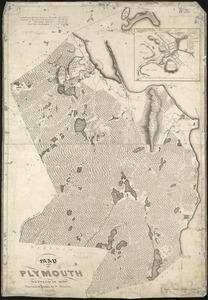
Map of Plymouth settled in 1620
4425.
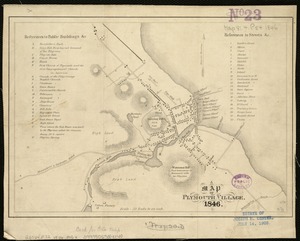
A map of Plymouth Village : 1846
4426.
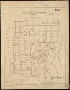
Map of Pond Town Plantation, Maine
4427.
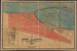
Map of Port Angeles, Washington Territory : compiled from a true copy of the U.S. survey thereof on file in the General Land...
4428.
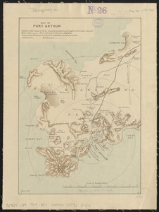
Map of Port Arthur
4429.
Map of Portage Co., Ohio
4430.
Map of portion of Osoyoos District : British Columbia
4431.
Map of portion of Osoyoos District, B.C
4432.
Map of portion of Osoyoos District, British Columbia
4433.
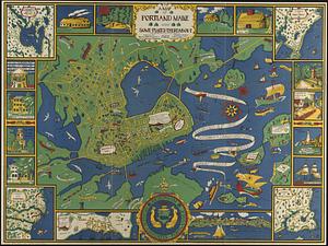
A map of Portland Maine and some places thereabout
4434.
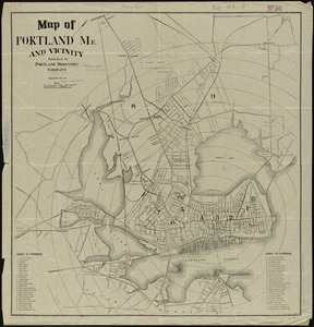
Map of Portland, Me. and vicinity
4435.
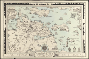
A map of Portsmouth, N.H. : an old town by the sea
4436.
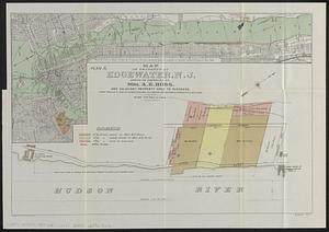
Map of property at Edgewater, N.J.
4437.
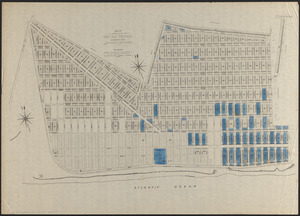
Map of property of the Surf Side Syndicate, Nantucket, Mass.
4438.
Map of proposed arboretum, showing its outlines and local connections, with a study for public drive passing through it
4439.
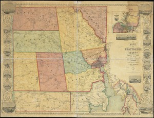
Map of Providence County, Rhode Island, with some of the adjacent towns
4440.
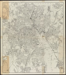
Map of Providence, Rhode Island
‹ Prev
Next ›
1
2
…
218
219
220
221
222
223
224
225
226
…
447
448